Connect existing routes.
Build on places where trails and transit already overlap through better trailheads, wayfinding, and programmed access.
CONWAY SCHOOL OF LANDSCAPE DESIGN · COLLABORATIVE PROJECT · WINTER 2026
A mapping framework for equitable access to outdoor recreation across Berkshire County, Massachusetts.
Natalie Wilks & Zaviere Drumm · Prepared for Berkshire Natural Resources Council
REGIONAL PLANNING / GIS + ACCESS
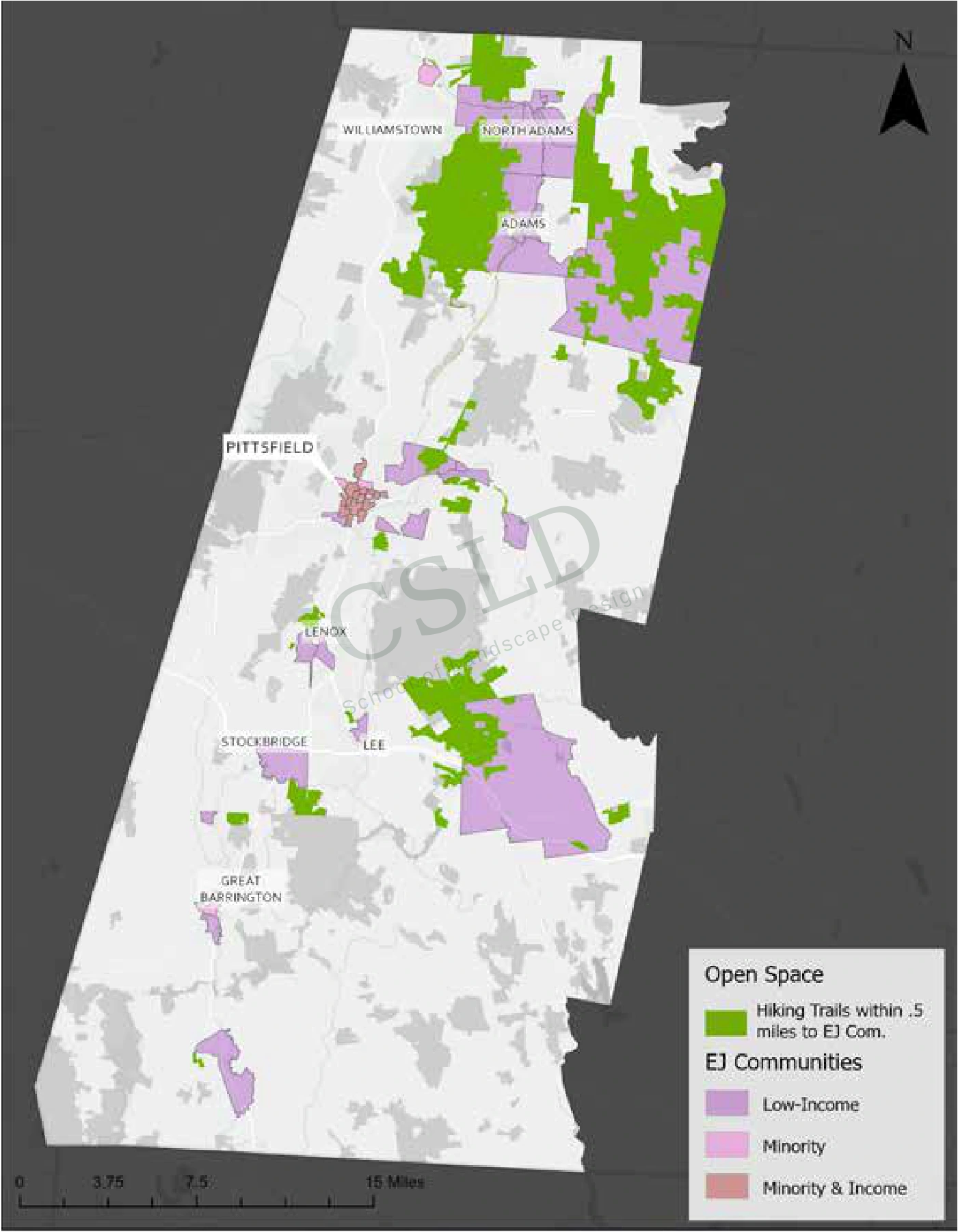
This countywide study examined how transportation, trailhead infrastructure, population patterns, and landscape conditions shape equitable access to outdoor recreation. GIS mapping, field observations, and regional planning data connected Environmental Justice communities, public transit, conserved land, ecological resources, and recreation destinations.
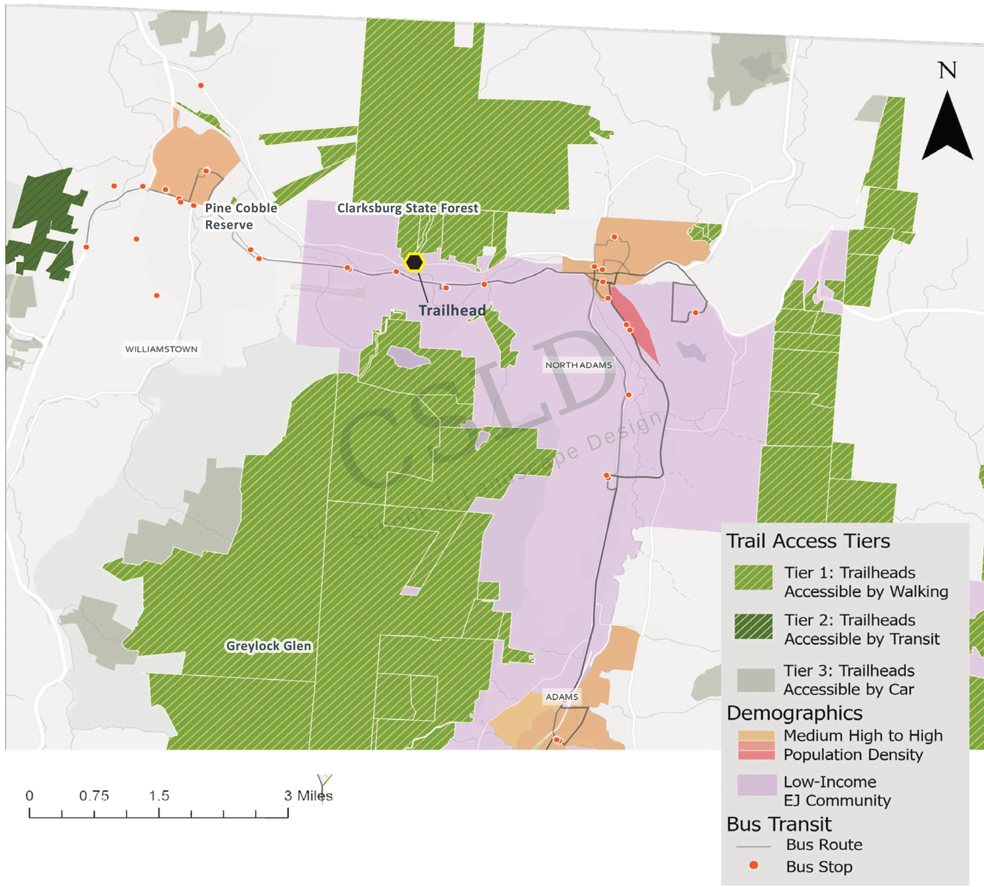
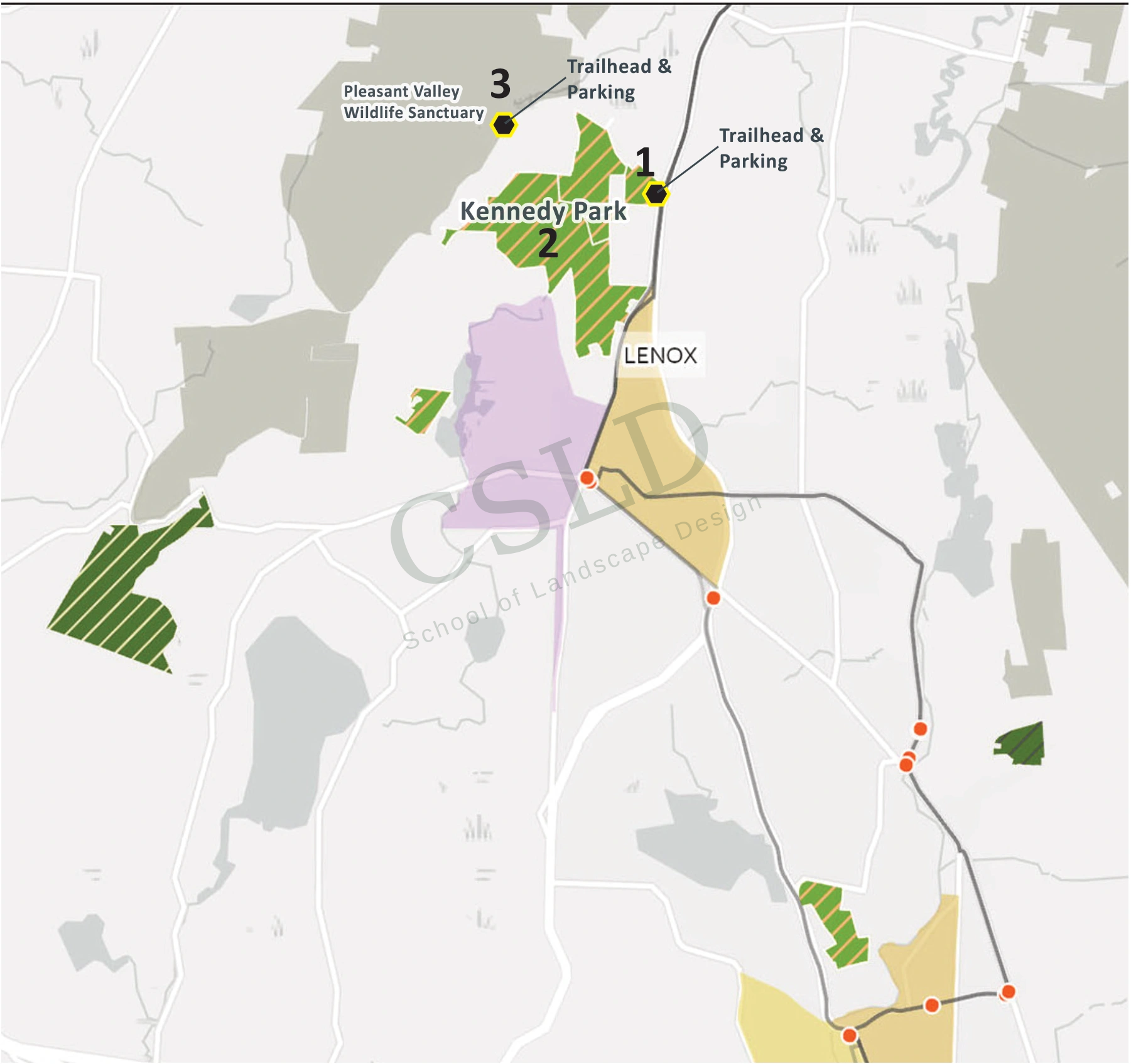
A proximity analysis and trail/gateway tier framework translated those conditions into opportunities for investment: transit-connected recreation, community gateways, trailhead improvements, walkability, wayfinding, and alternative transportation. Site-specific case studies tested how those regional priorities could work on the ground.
THREE DIRECTIONS FOR ACTION
Build on places where trails and transit already overlap through better trailheads, wayfinding, and programmed access.
Prioritize neighborhood connections, accessible infrastructure, and community stewardship close to where people live.
Explore service extensions and microtransit to connect population centers with important recreation landscapes.
BNRC’S GOALS / OUR APPROACH
Berkshire Natural Resources Council commissioned this study to improve equitable access to conserved lands, particularly for people without reliable transportation. The goal was to identify stronger connections between communities, public transit, and trailheads—and guide future conservation and recreation planning. Access to nature was treated as infrastructure supporting public health, climate resilience, environmental justice, and regional stewardship.
Our team combined GIS mapping, regional planning data, and field observations to study access, connectivity, and the visitor experience. We mapped transit routes, trailheads, population patterns, and Environmental Justice communities, then used local case studies and sketches to translate those findings into design opportunities.
CASE-STUDY SKETCHES / DRAWN BY ZAVIERE DRUMM
Sketches explore how arrival, wayfinding, rest areas, and sensitive trail connections can make a trip from town to trail more welcoming.
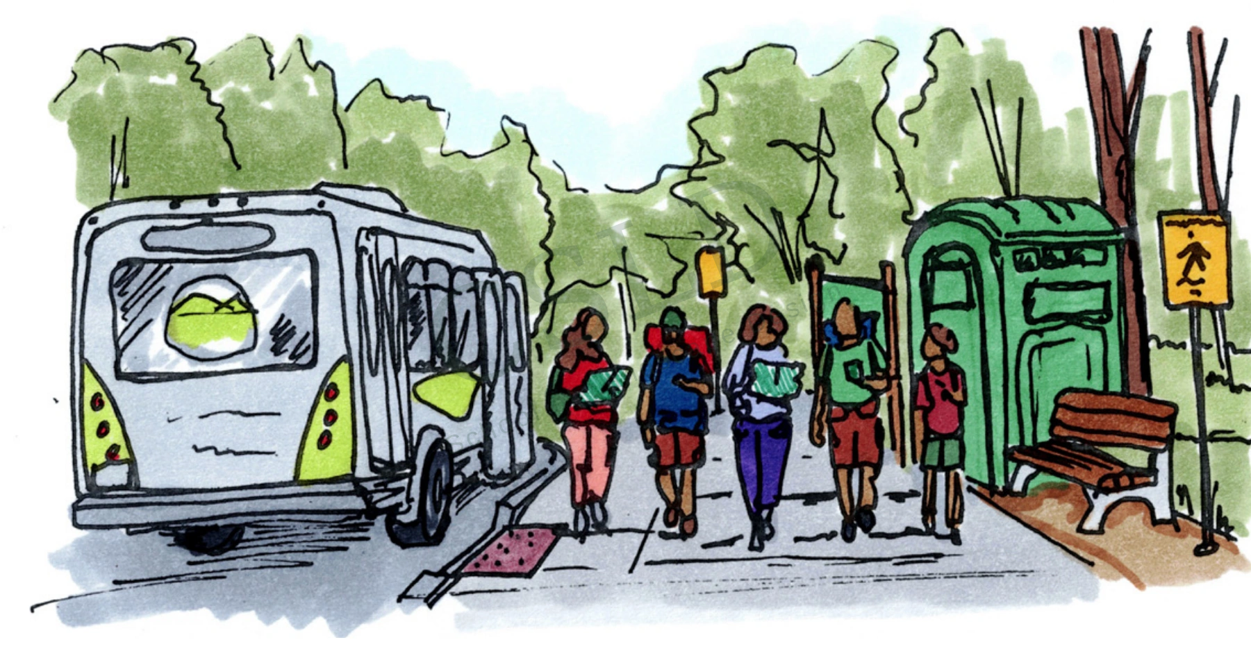
A bus stop and clear trailhead connection welcome visitors into the forest.
Drawn by Zaviere Drumm · Concept sketch
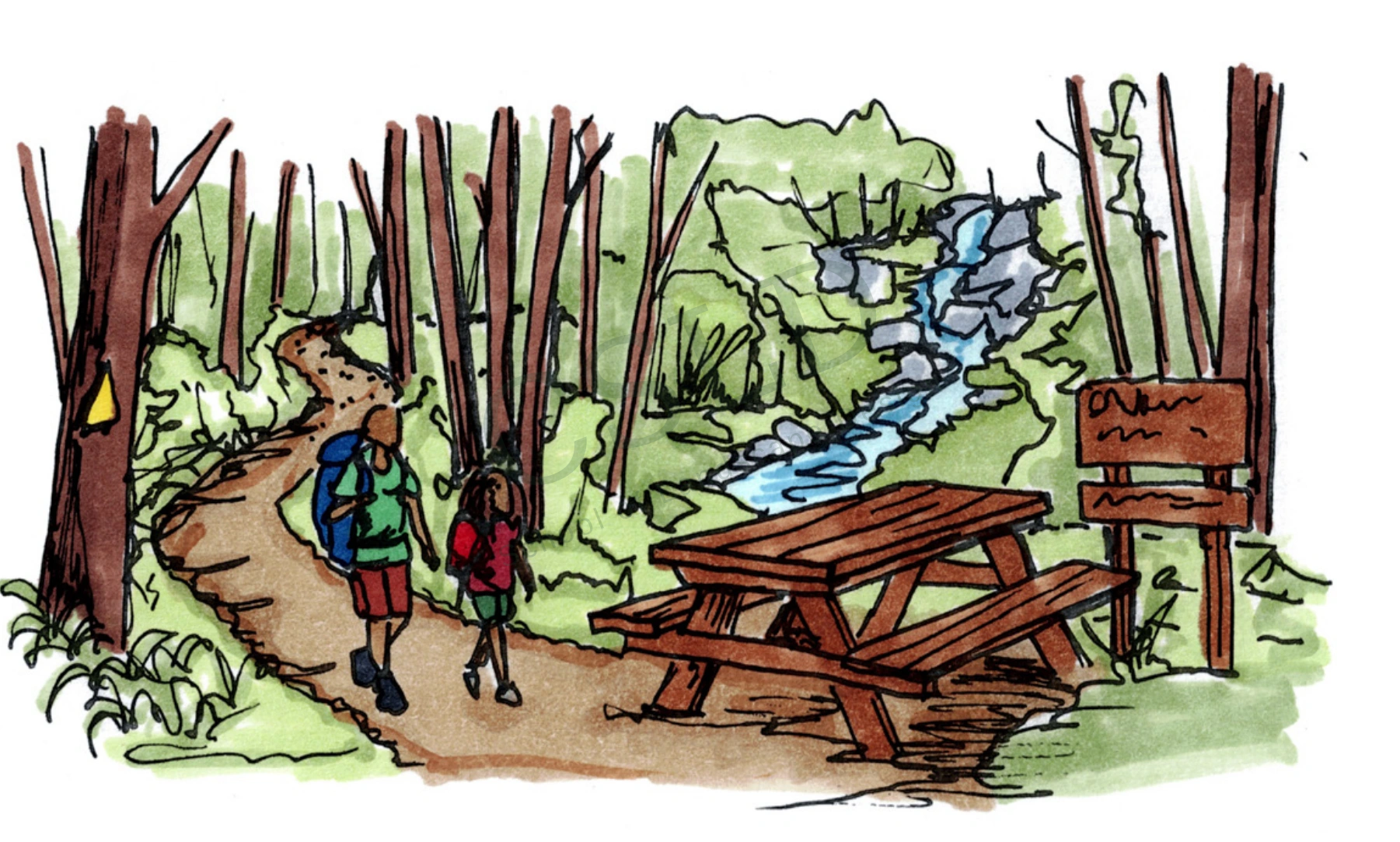
A shaded rest area makes room to pause and spend time beside the stream.
Drawn by Zaviere Drumm · Concept sketch
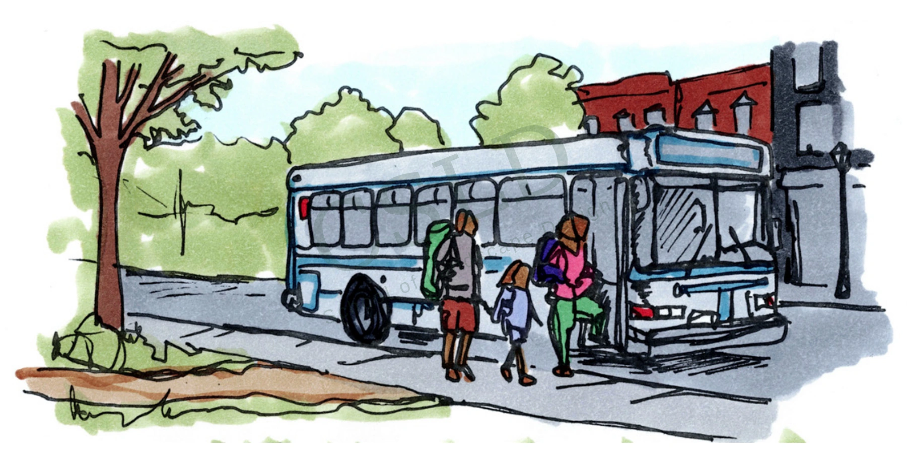
A proposed arrival point brings transit closer to the park entrance.
Drawn by Zaviere Drumm · Concept sketch
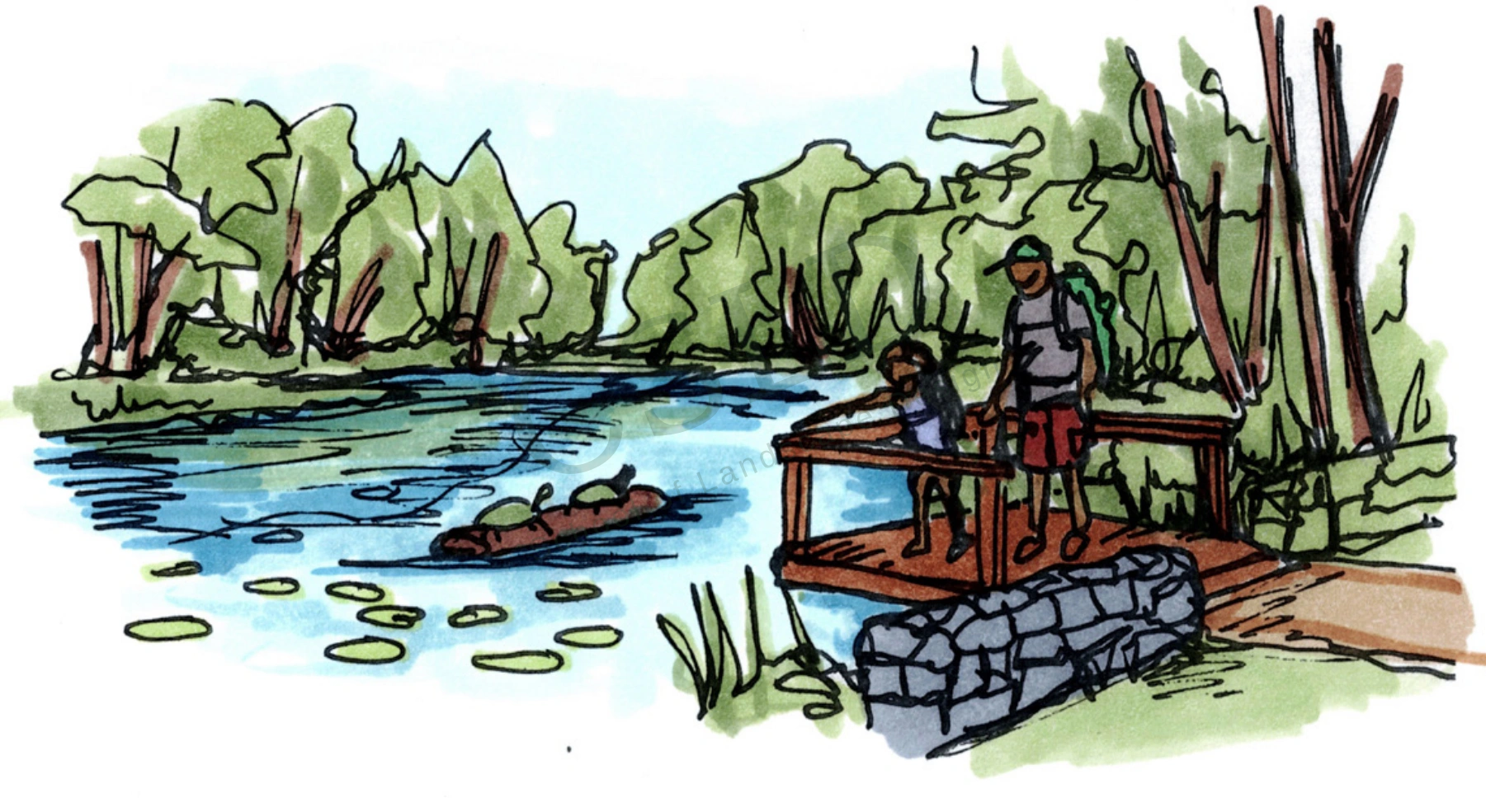
A boardwalk and overlook guide exploration through sensitive ecological areas.
Drawn by Zaviere Drumm · Concept sketch