Understand
Create informed existing-condition plans and analyze subtle topographic and drainage relationships.
LANDSCAPE DESIGN
Ecology, thoughtful design, and the practical work of bringing a landscape into being.
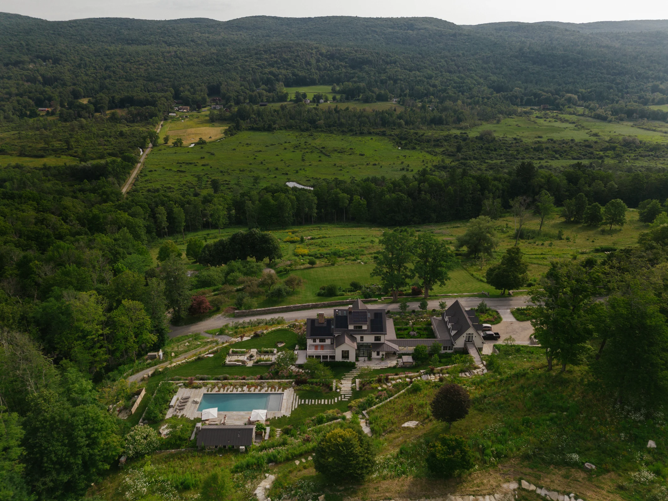
SITE ANALYSIS + SURVEYING
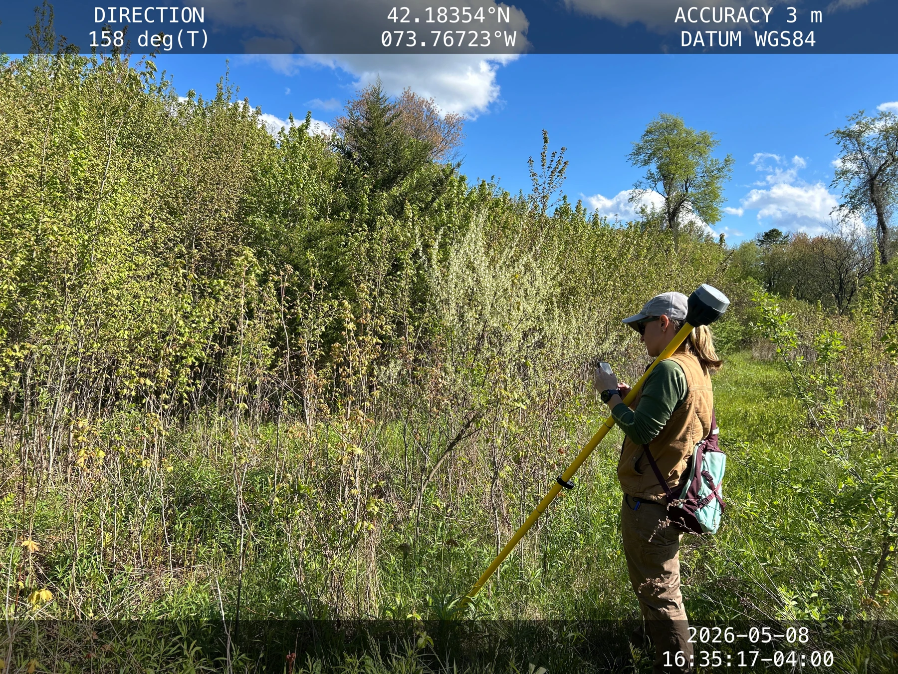
Sweetfern uses professional Emlid GNSS/RTK technology to collect highly accurate, georeferenced site information that integrates with CAD and GIS-based planning and design.
Site documentation can include grades, elevations, topography, structures, roads, drives, paths, walls, significant trees, vegetation, drainage, streams, ponds, professionally delineated wetlands, utilities, and project-specific observations.
This shared site record supports close collaboration with other professionals. Native restoration specialists can pinpoint and track species populations, while arborists can identify individual trees for assessment or treatment. As-built records establish monitoring locations that can be revisited for long-term maintenance.
Georeferenced observations also support site-specific hydrological assessments with engineers. A common location reference connects field observations, CAD, and GIS across platforms, keeping communication precise as design, implementation, and stewardship progress.
Where legally required, boundary, engineering, wetland, or other regulated surveying and delineation is performed by the appropriate licensed or qualified professional.
WHY GEOREFERENCED DATA MATTERS
Create informed existing-condition plans and analyze subtle topographic and drainage relationships.
Connect aerial imagery, GIS, CAD, and field information within a shared spatial framework.
Return to recorded locations for layout, communication, monitoring, and long-term management.
DESIGN + PLANNING CAPABILITIES
A shared landscape for people and habitat.
Read the land before reshaping it.
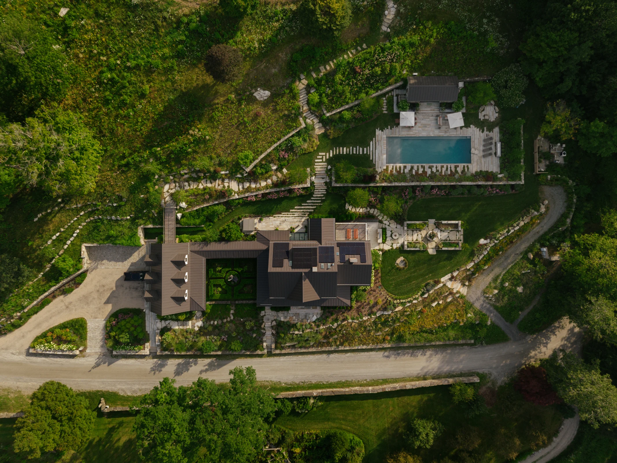
Landscape thinking before construction.
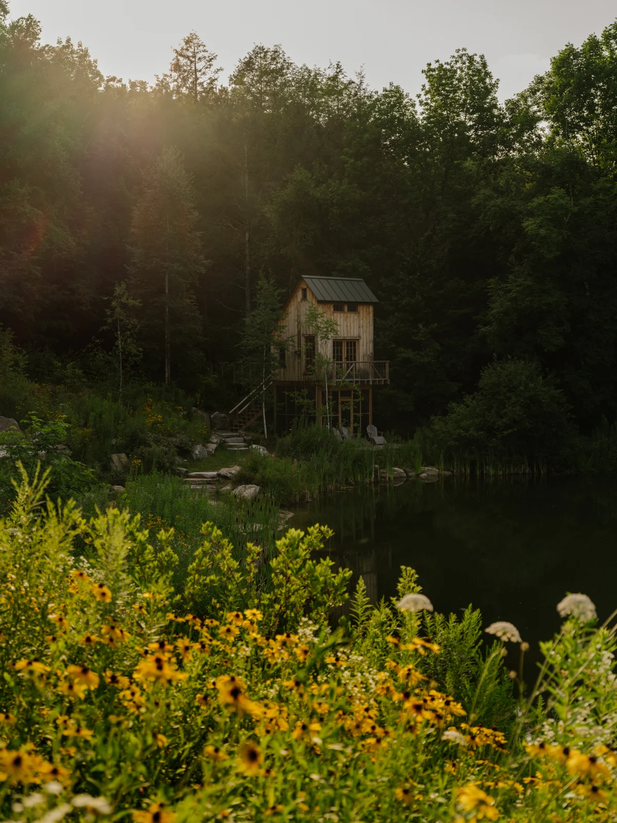
A landscape with room to change.
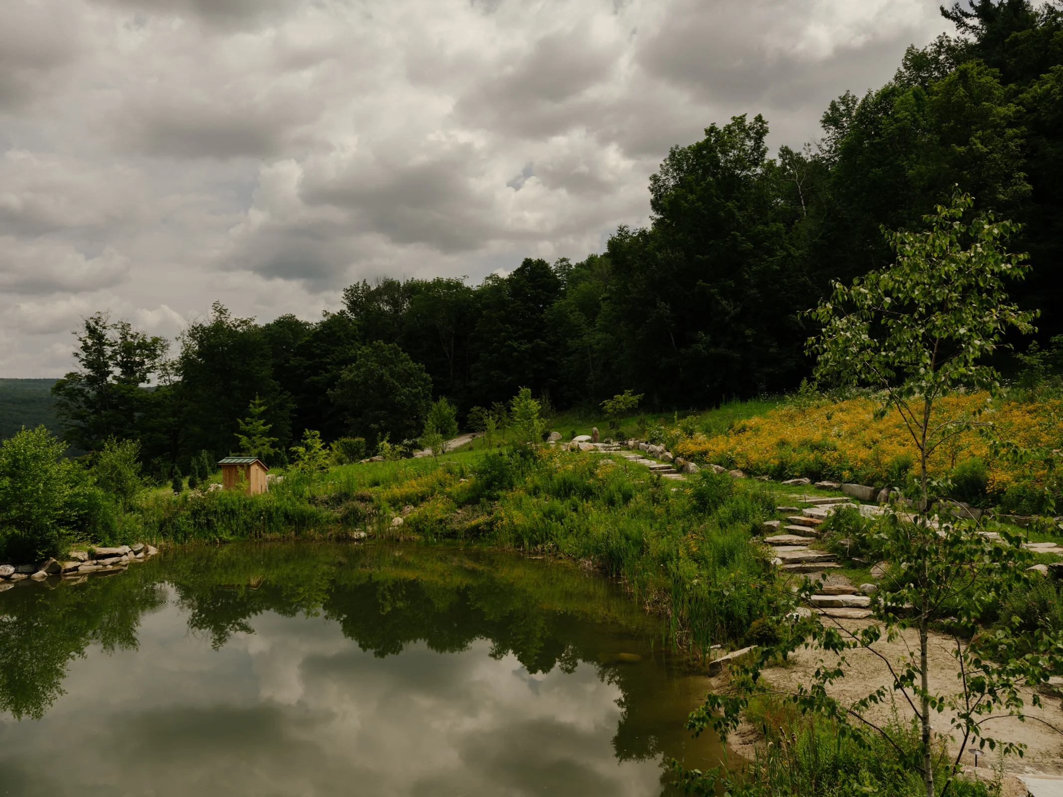
Build upon the life already present.
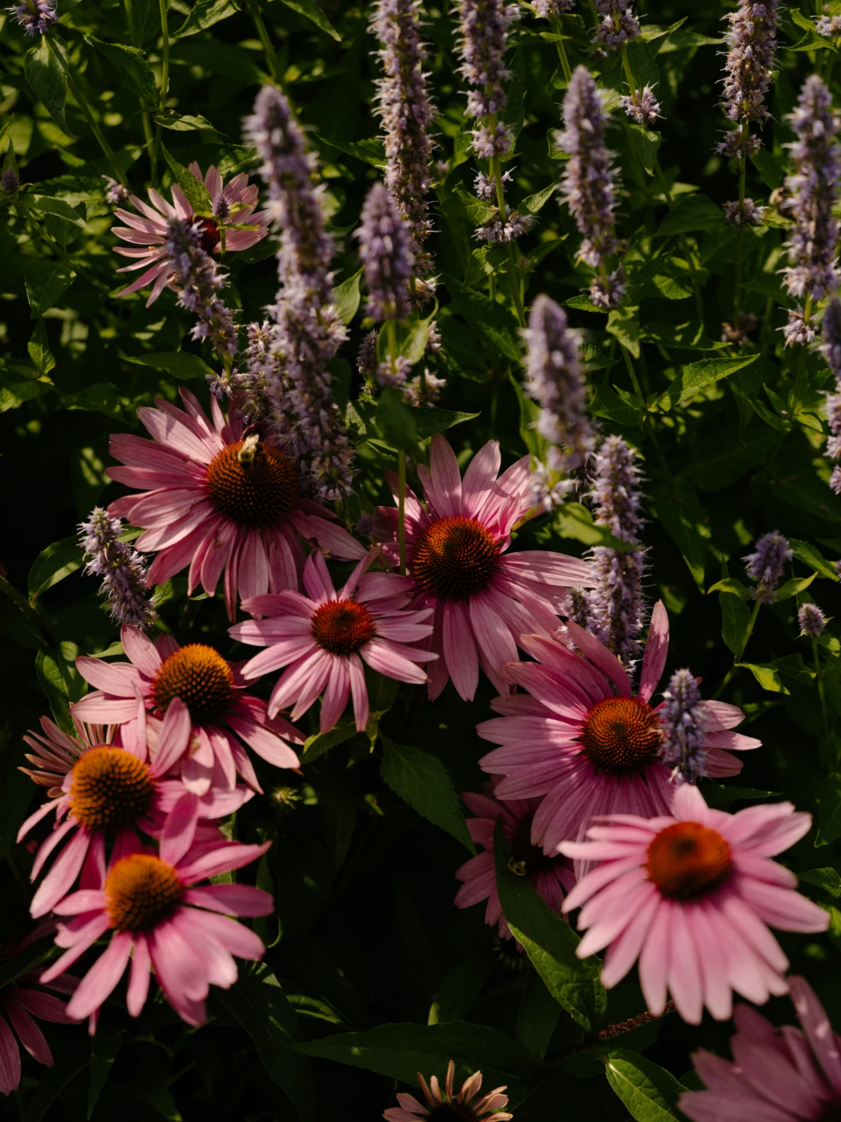
Ecology with structure and intention.
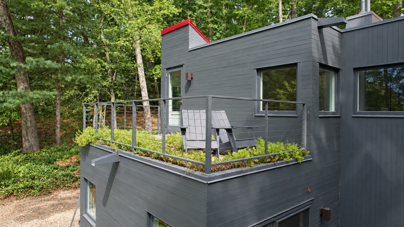
The landscape continues overhead.
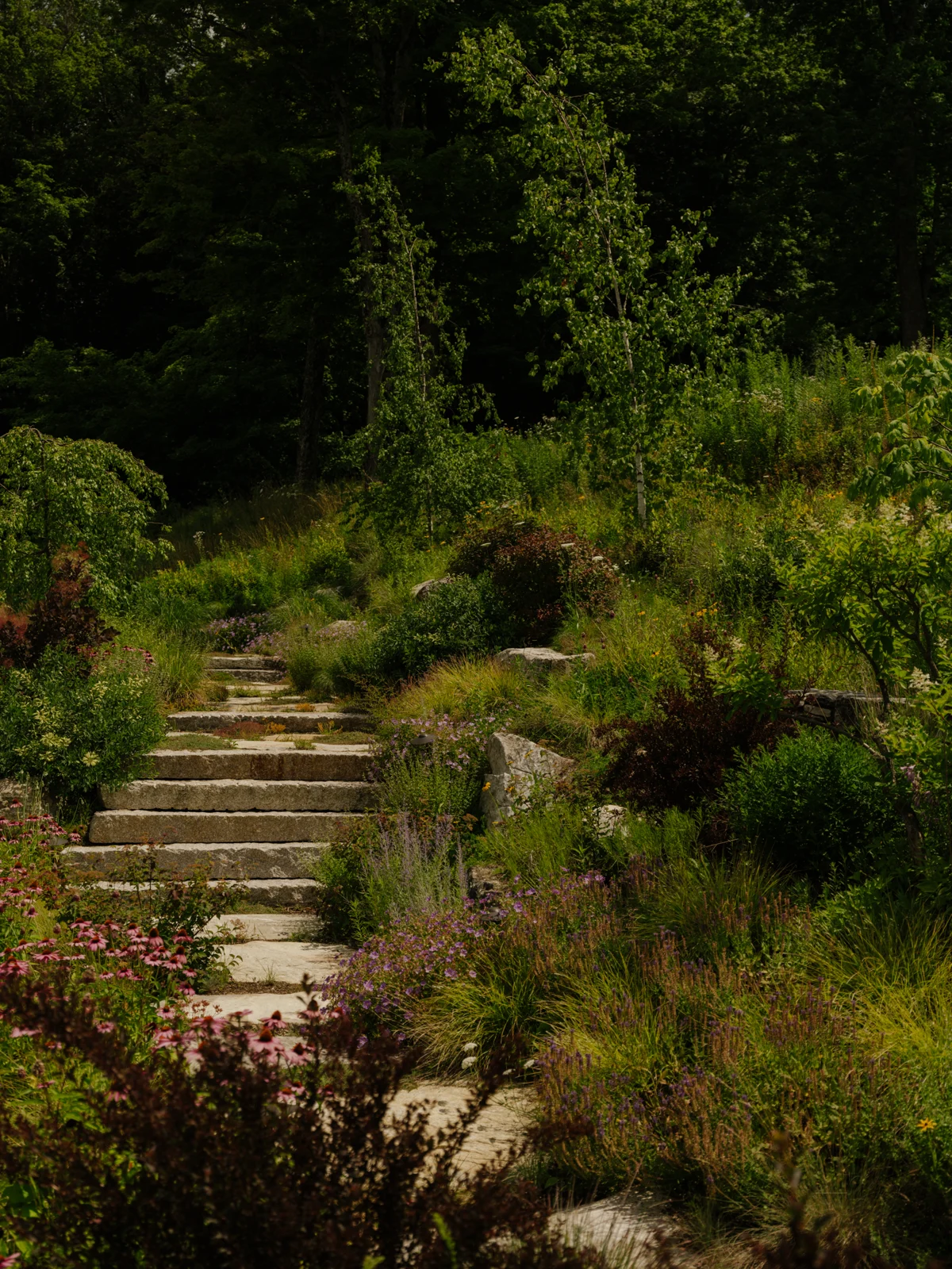
Craft integrated with landform.
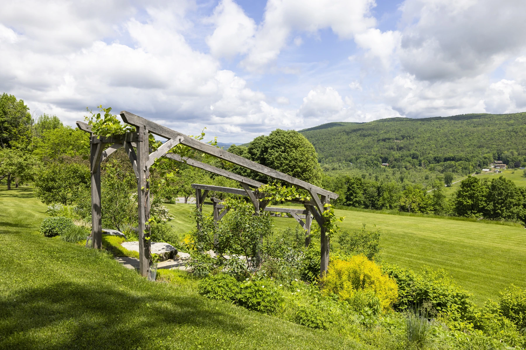
A destination within the landscape.
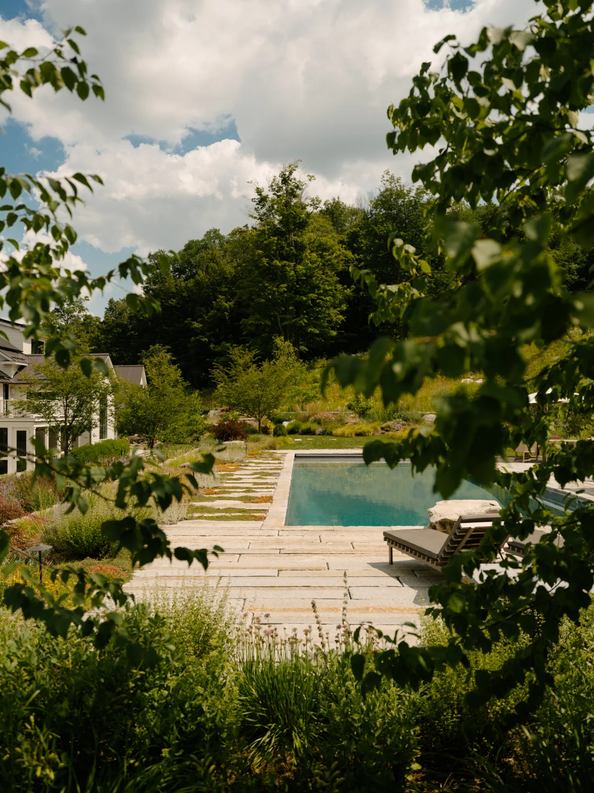
Water where it is needed.
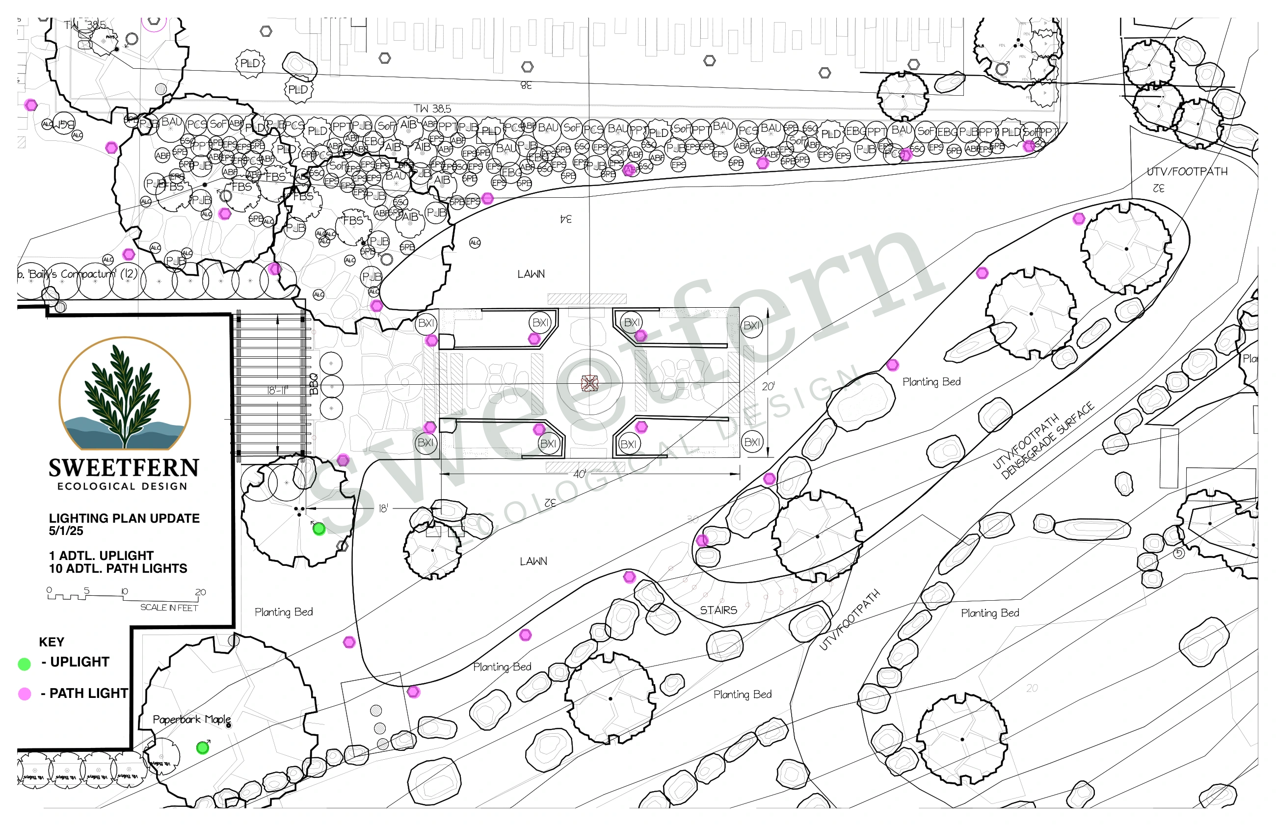
Purposeful, integrated light.
LANDSCAPE PLANNING + DESIGN
Conceptual and comprehensive property plans can bring planting, grading, drainage, circulation, outdoor living, stonework, structures, meadows, habitat, restoration, planted roofs, irrigation, and lighting into one design. Hardscape and plant material sourcing connects design specifications with available stone, paving, nursery stock, and seed. Phasing, delivery coordination, implementation, and stewardship planning carry that work forward.
From plan to groundANALYSIS IN PRACTICE / DESIGN STUDIES
Residential design and conservation planning, documented through original analysis, drawings, and planting palettes.
Conway School of Landscape Design
 EXPLORE THE PROJECT
Residential design study · Fall 2025
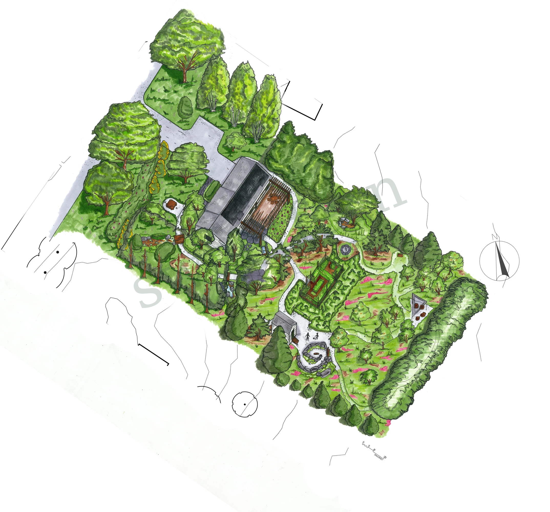
A sandplain meadow oasis, designed for everyday life.
Zaviere Drumm · The Conway School · Fall 2025Conway School of Landscape Design: Co-designed with Anna Goff
 EXPLORE THE PROJECT
Conservation + housing project · Spring 2026
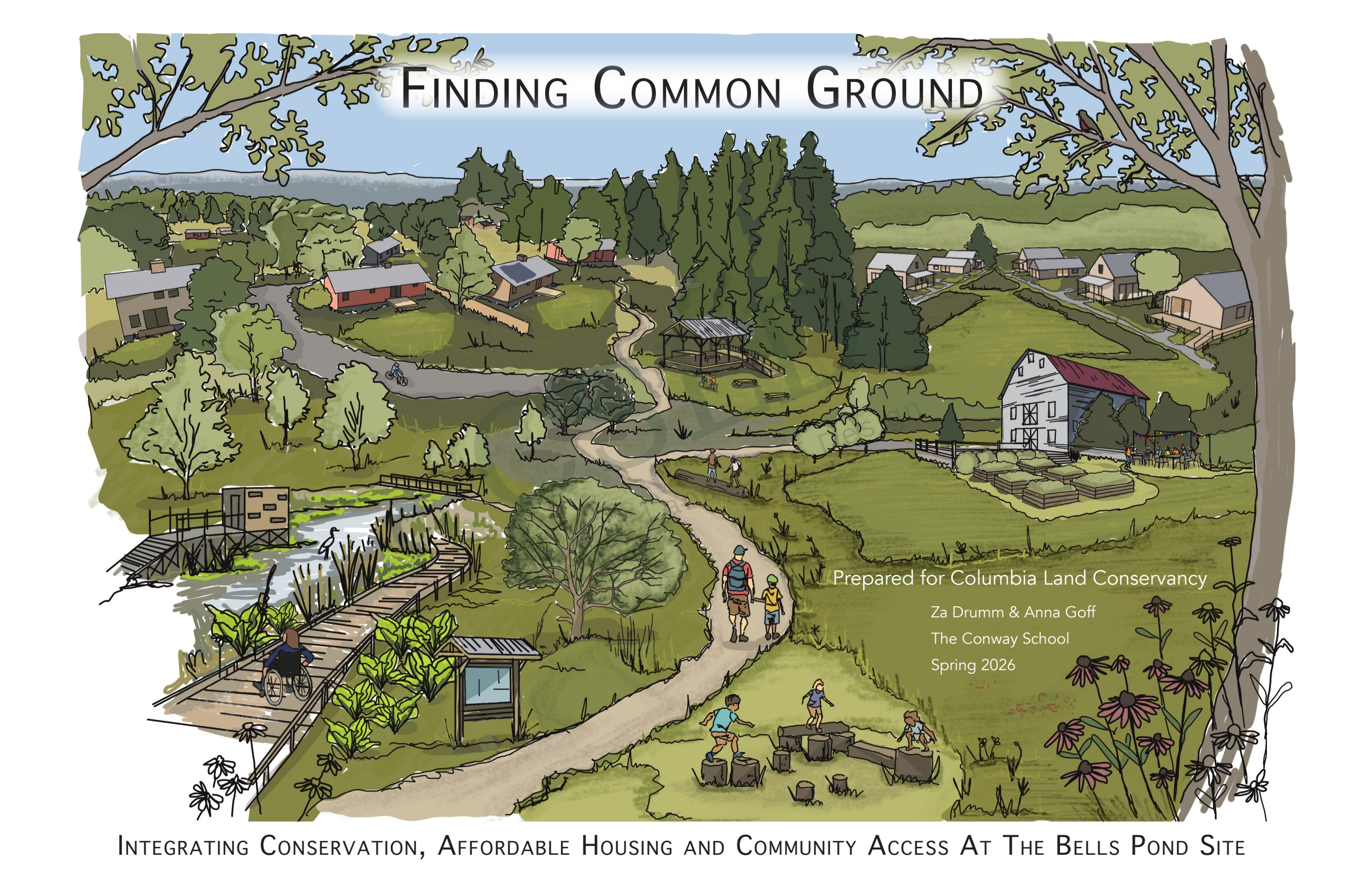
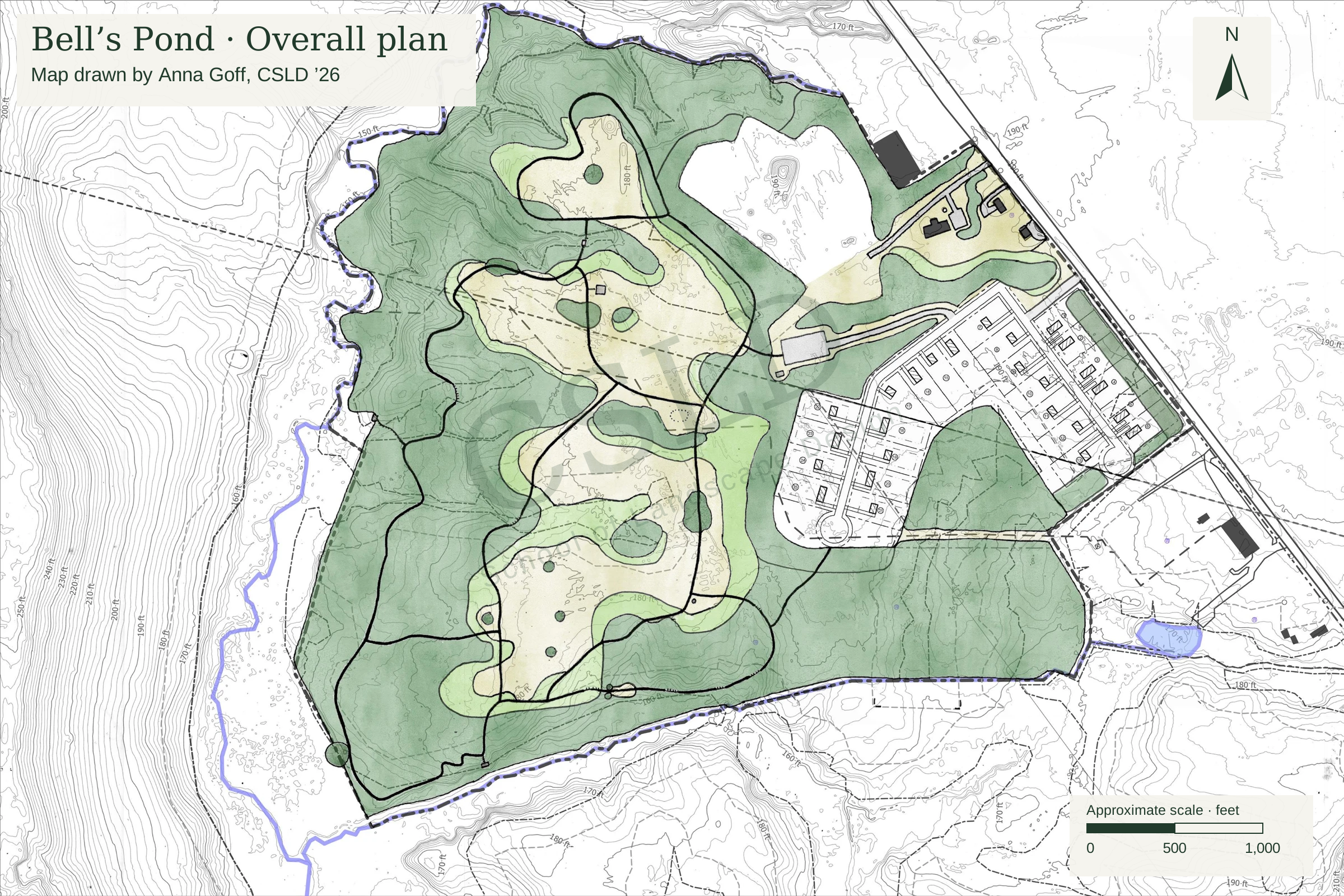
Conservation, affordable housing, and community access on common ground.
Anna Goff & Zaviere Drumm · The Conway School · Spring 2026