Assess + map
Map priority invasive populations, treatment areas, sensitive vegetation, and opportunities for natural regeneration.
STEWARDSHIP
Observe what is happening. Support what is thriving. Adapt the next step to the landscape.
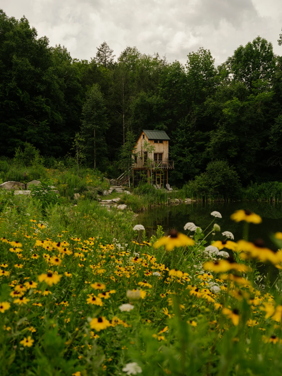
ADAPTIVE ECOLOGICAL MANAGEMENT
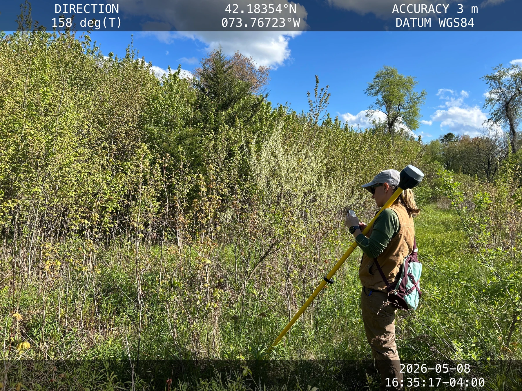
Repeat field observations and georeferenced mapping can reveal how vegetation and habitat change over time. Records can track native and invasive plants, trees, shrubs, restoration plantings, natural regeneration, mortality, recruitment, treatment areas, and habitat features.
Comparing observations helps identify where treatment is working, where follow-up is needed, where native vegetation is recovering, and where supplemental planting or a lighter touch may be appropriate.
INVASIVE SPECIES + RESTORATION COORDINATION
Sweetfern works with qualified restoration and invasive-species professionals to develop targeted, long-term strategies. Identify what needs control alongside what should be protected, encouraged, or allowed to regenerate.
Map priority invasive populations, treatment areas, sensitive vegetation, and opportunities for natural regeneration.
Coordinate phased treatment, nucleus planting, supplemental seeding, and container planting with the appropriate professionals.
Follow the landscape’s response and adjust management as conditions, species, and communities change.
CARE ACROSS THE LANDSCAPE
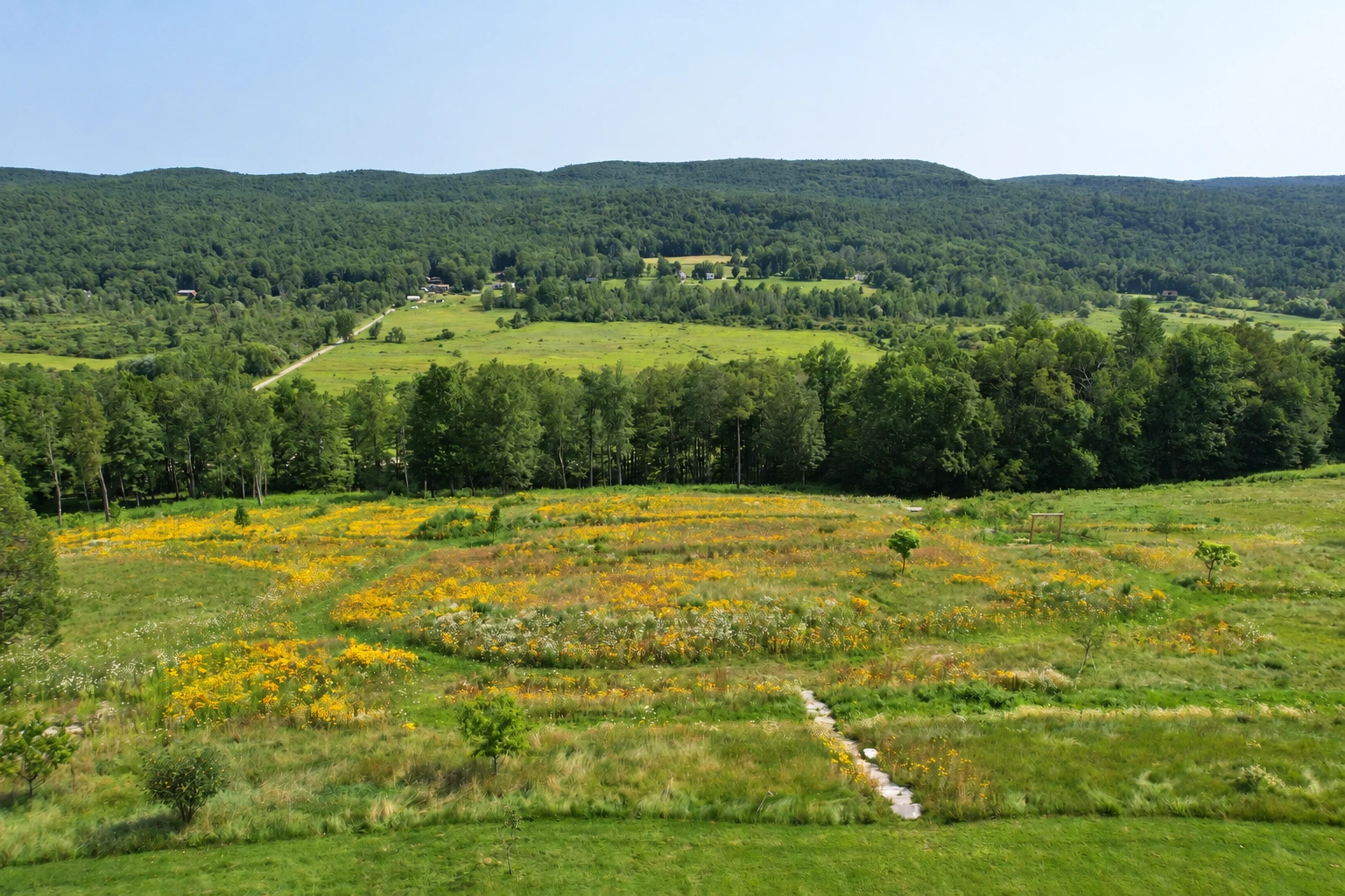
Mowing, succession, invasive management, enhancement, habitat, and monitoring.
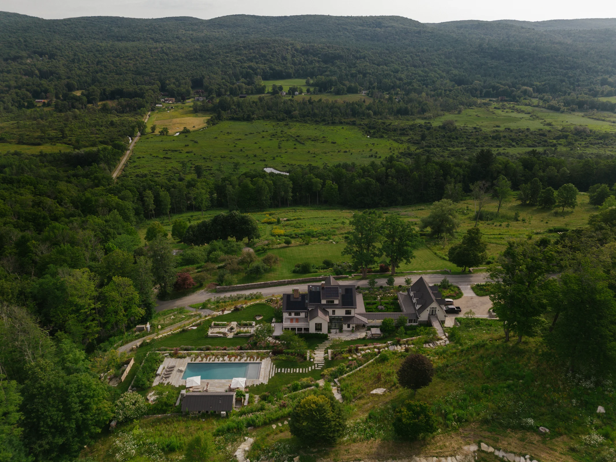
Understory restoration, natural regeneration, invasive management, edges, trails, and habitat.
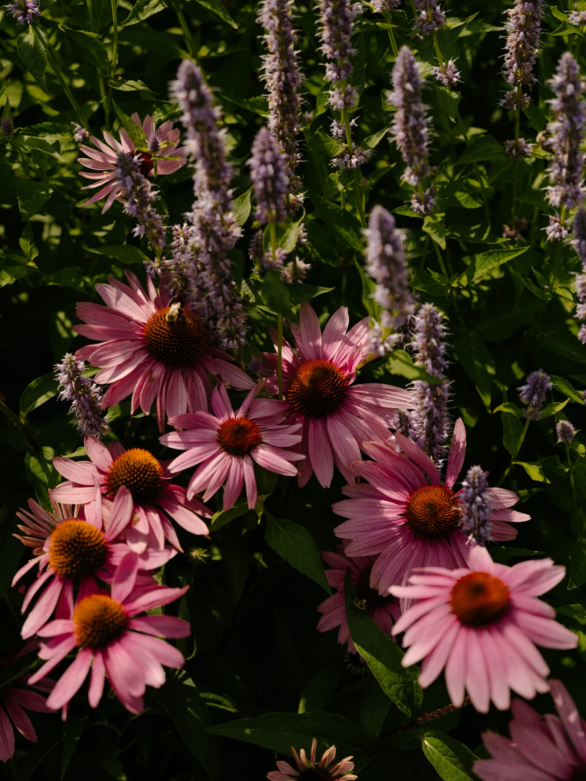
Editing, transplanting, division, pruning, replacement, and adaptation as planting matures.
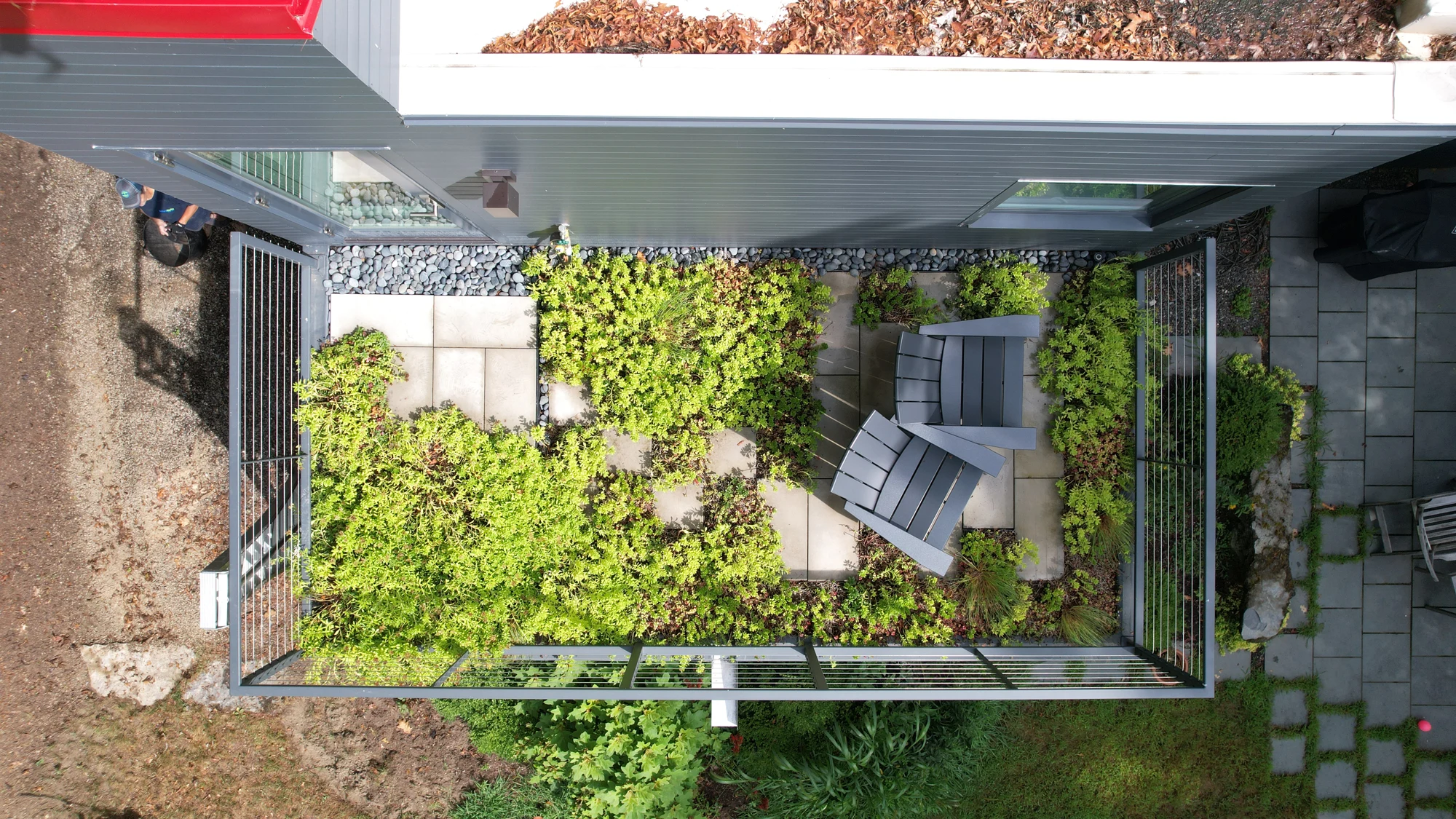
Monitoring, editing, replacement planting, and adapting species composition.
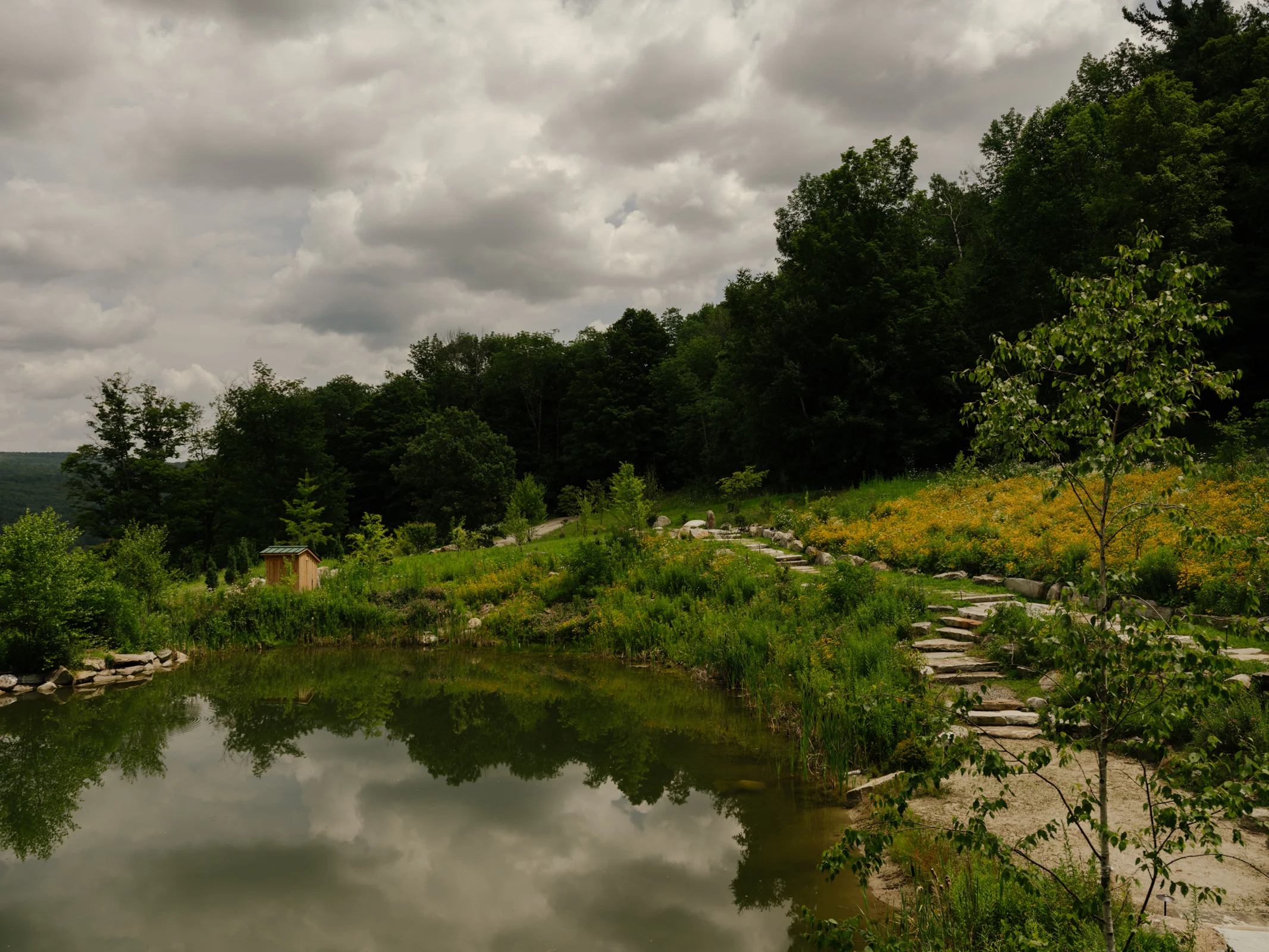
Monitor outcomes and adapt strategies to the response observed on the site.
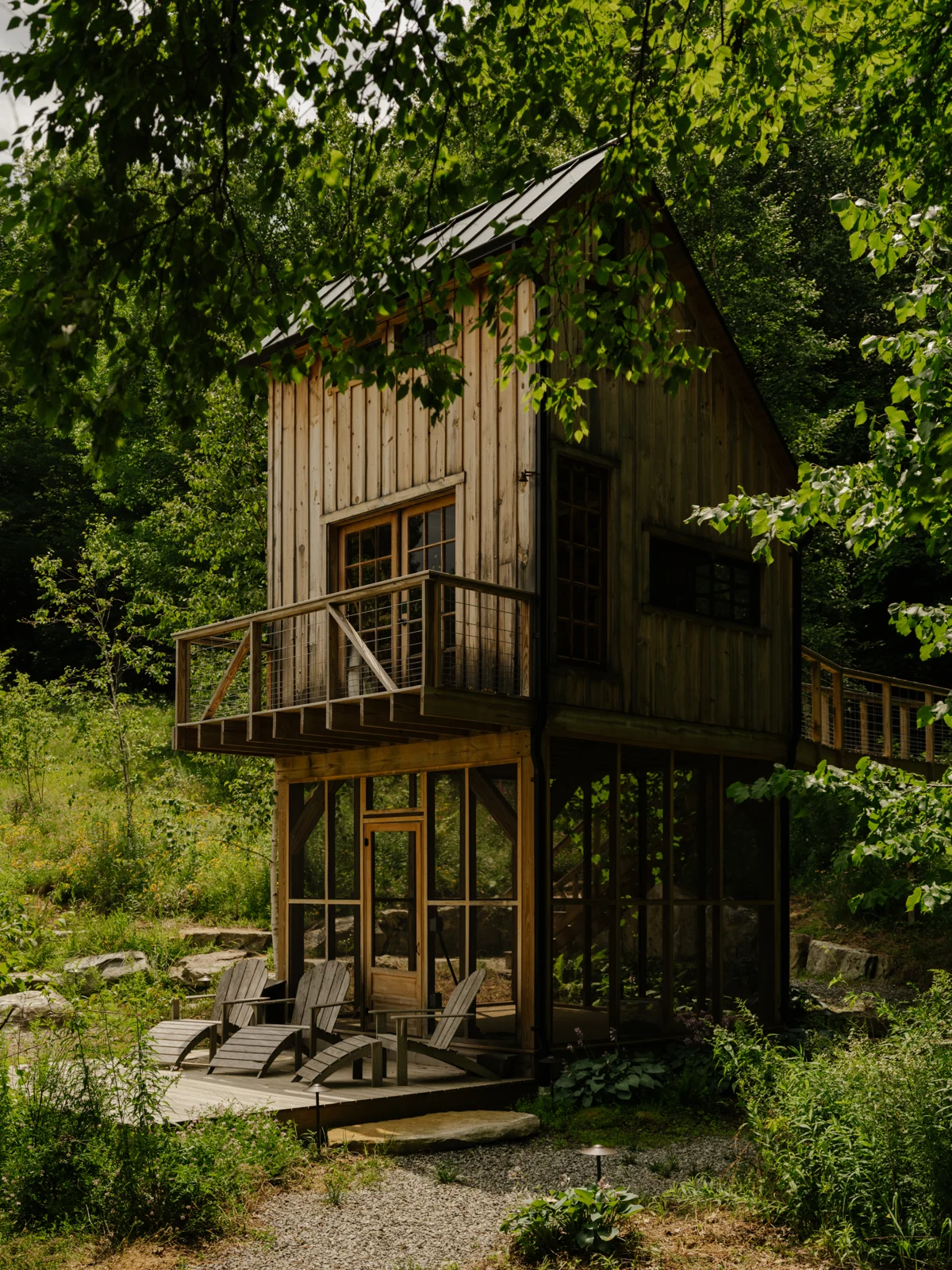
Coordinate long-term tree management and arboricultural recommendations within the larger landscape plan.
Monitor wetland vegetation, invasive species, and habitat; support native planting and protect the surrounding buffers.
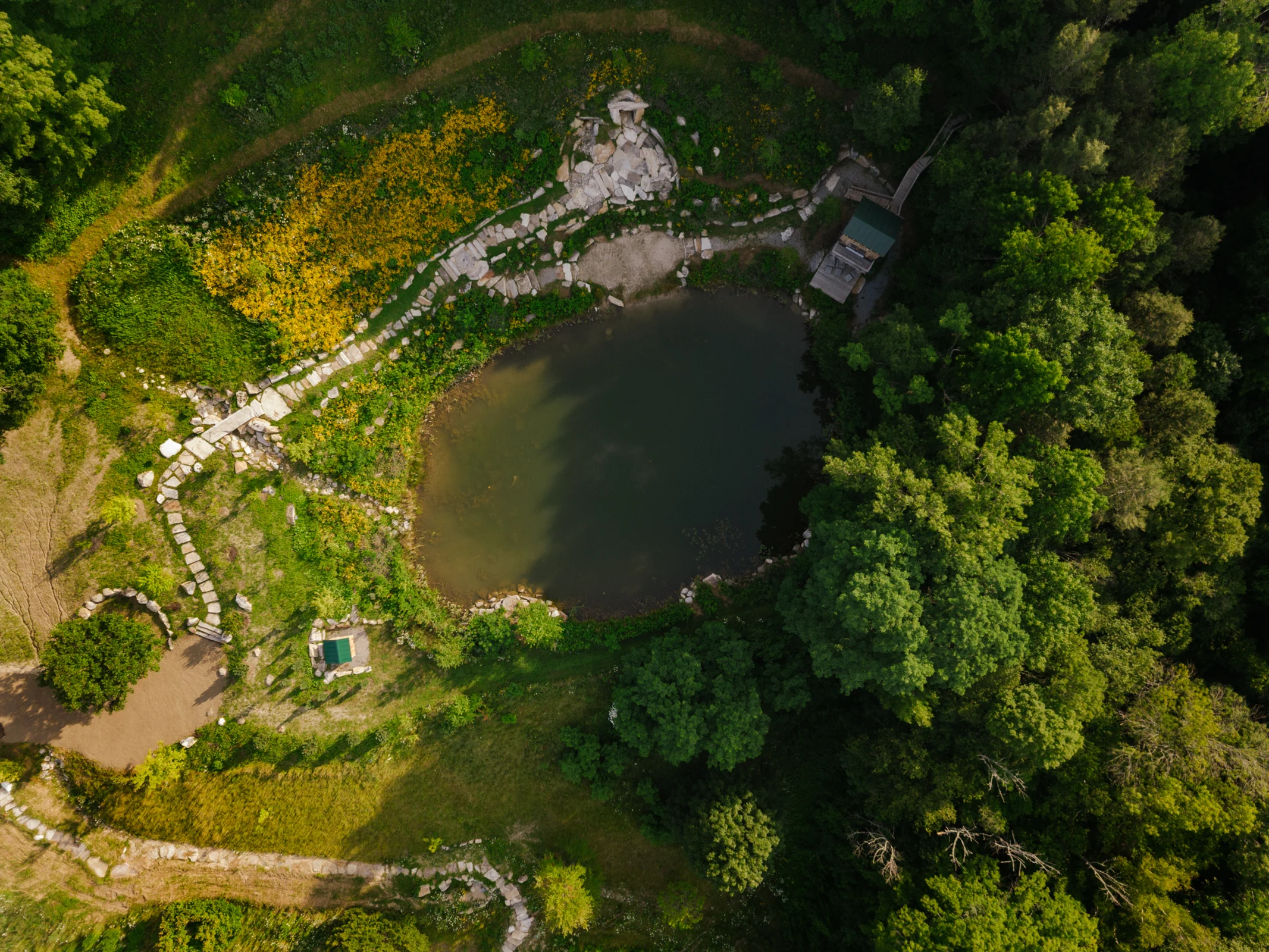
Observe drainage, pond edges, swales, and rain gardens; maintain flow, manage sediment, and adapt planting to seasonal water conditions.
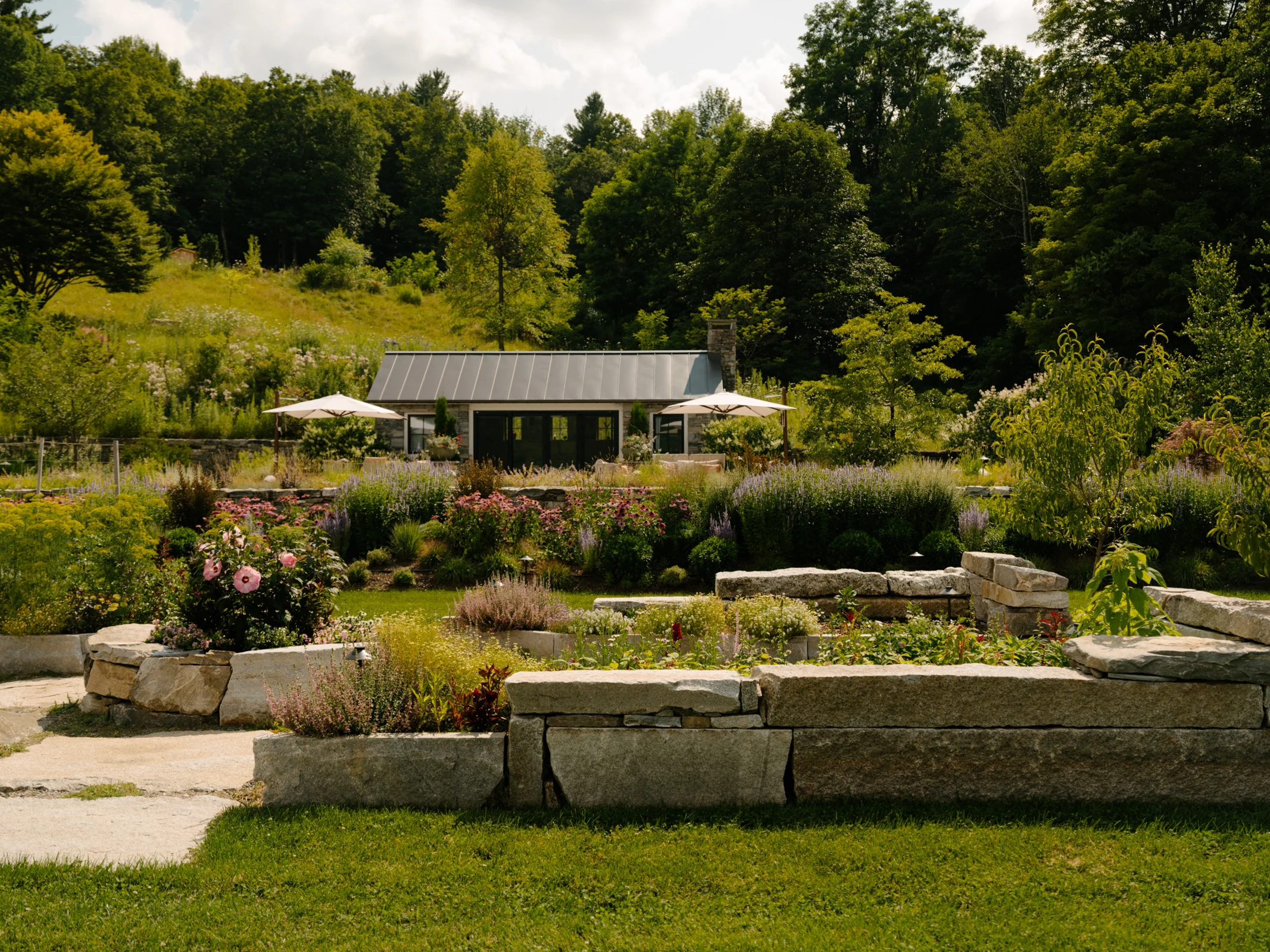
Maintain paths, steps, and access routes; address erosion, drainage, and encroaching vegetation as use and the landscape evolve.
ANALYSIS IN PRACTICE / DESIGN STUDIES
Explore habitat management by vegetation zone at Bell’s Pond and the dry-site planting communities at Sandplain Meadow Oasis. Both studies connect design intent with the care a landscape will need.
Conway School of Landscape Design: Co-designed with Anna Goff
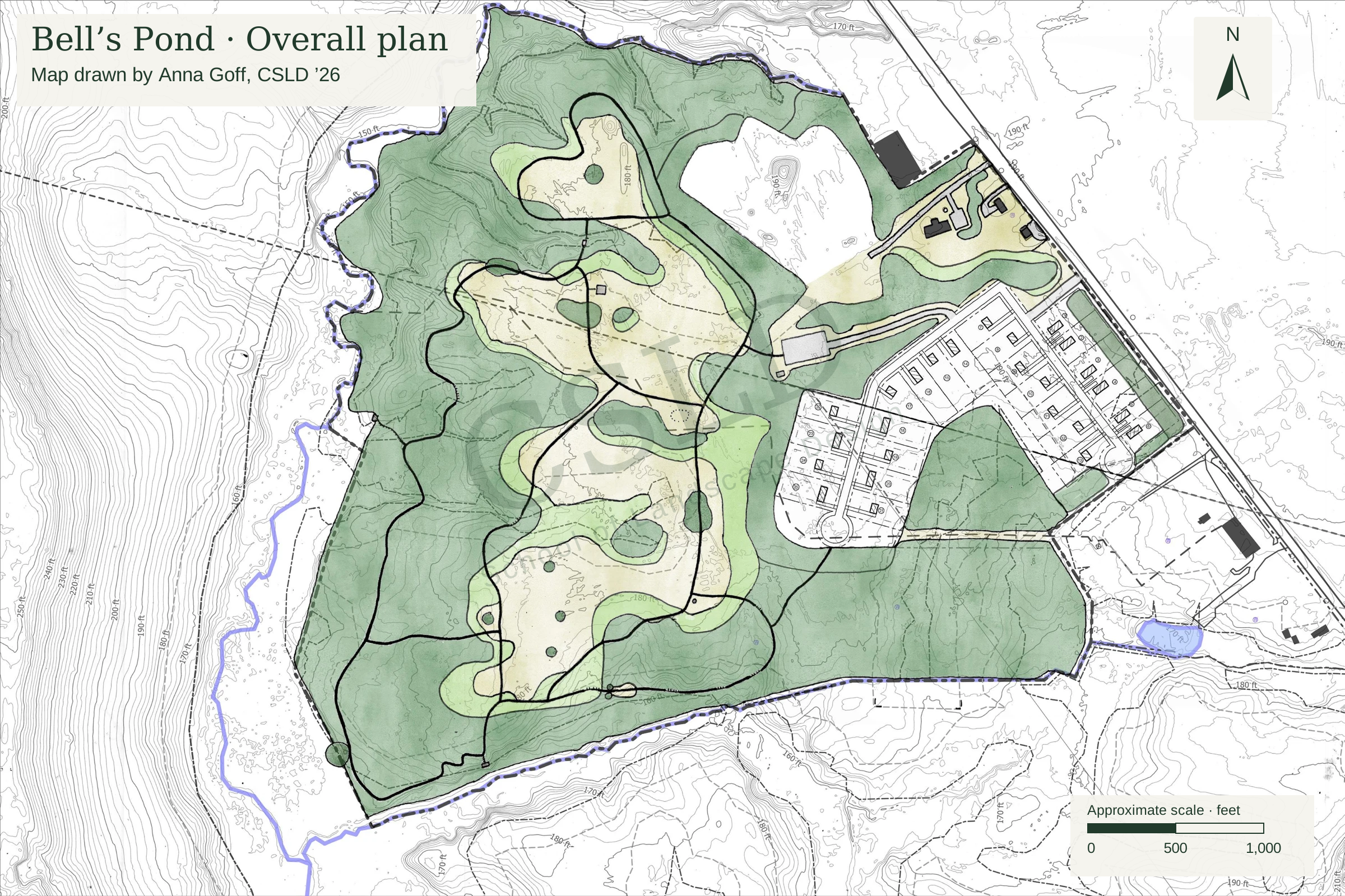
 EXPLORE THE PROJECT
Conservation + housing project · Spring 2026
Conservation, affordable housing, and community access on common ground.
Anna Goff & Zaviere Drumm · The Conway School · Spring 2026Conway School of Landscape Design
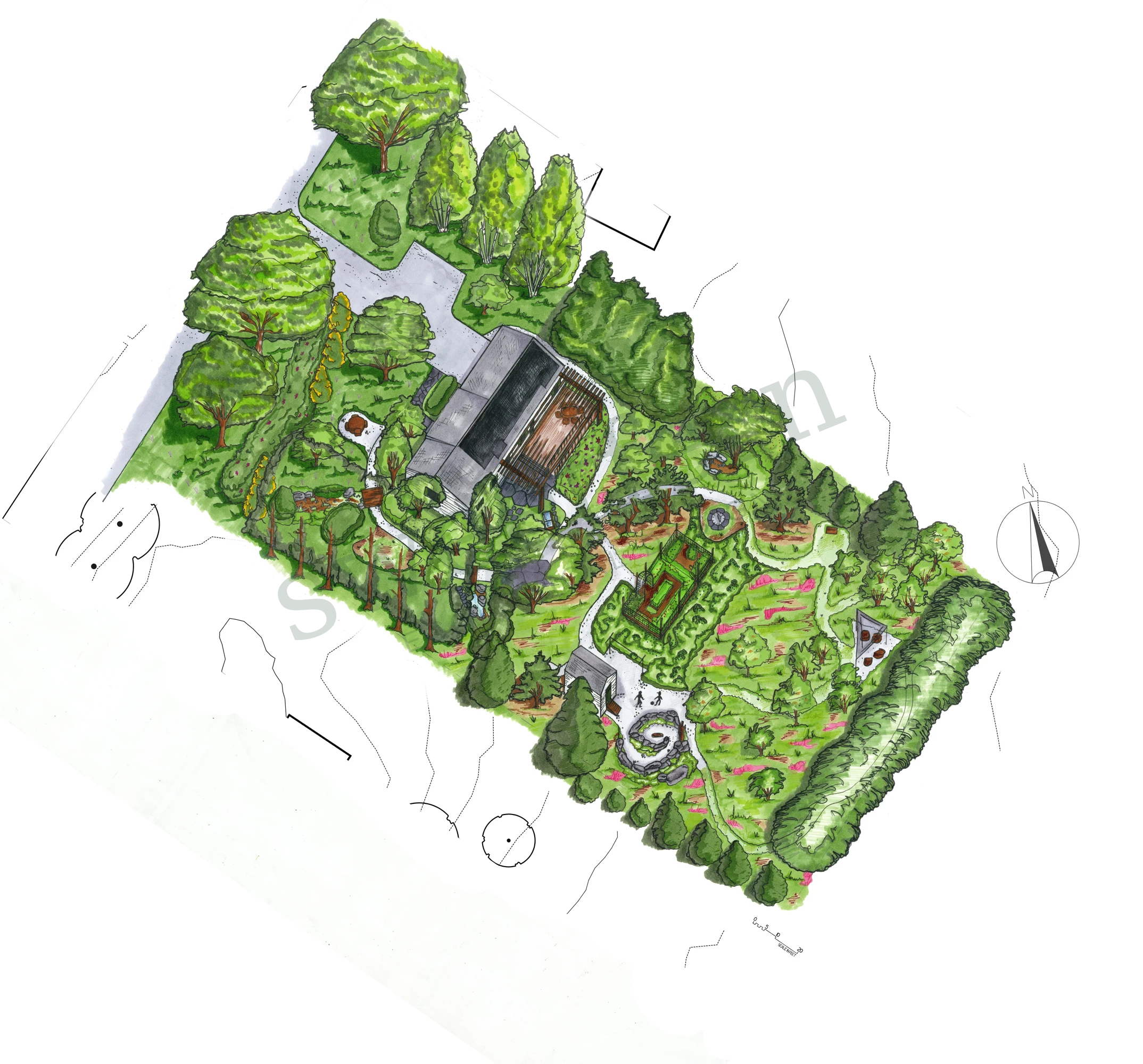 EXPLORE THE PROJECT
Residential design study · Fall 2025
A sandplain meadow oasis, designed for everyday life.
Zaviere Drumm · The Conway School · Fall 2025