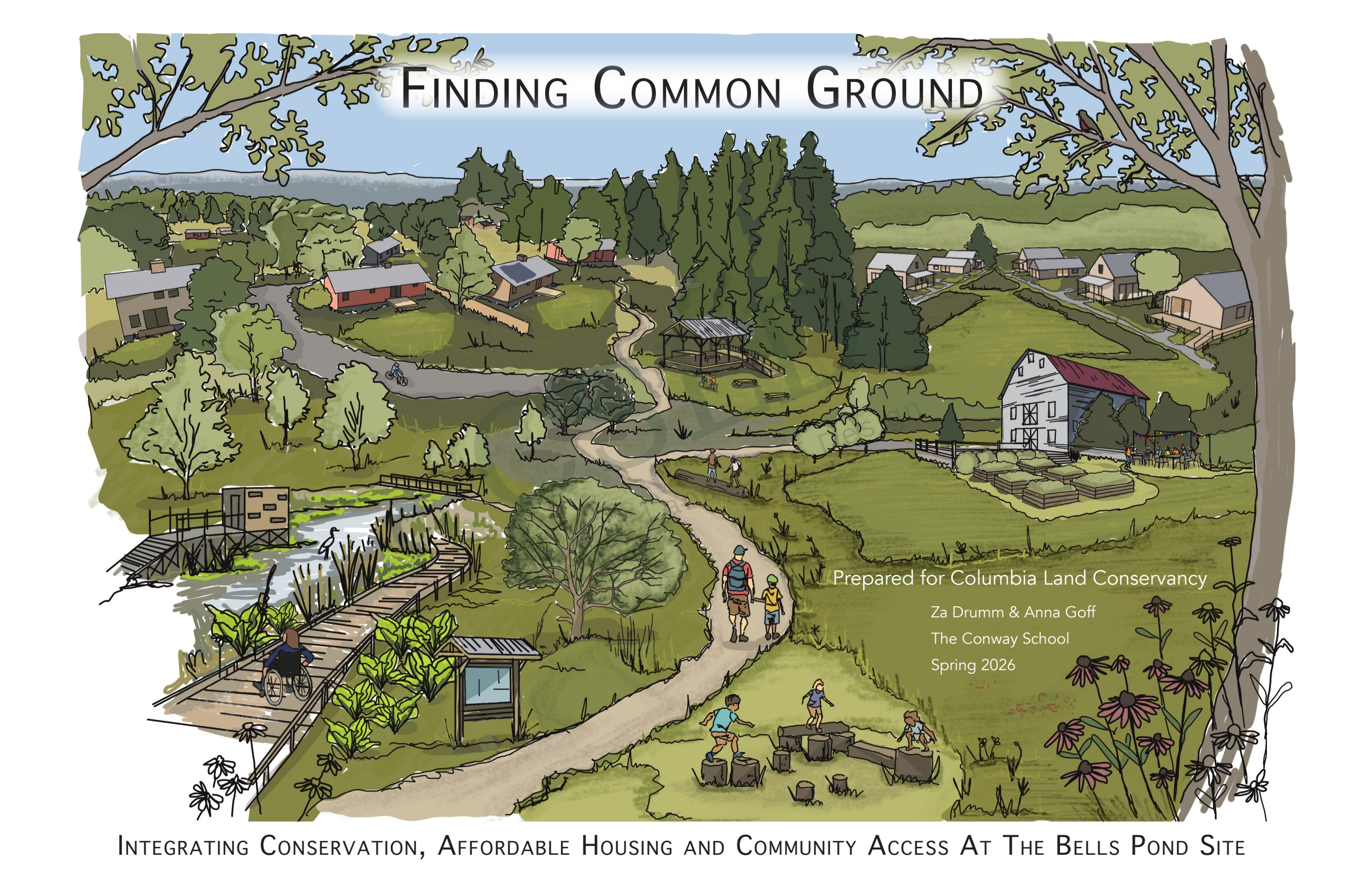
Site analysis can help housing and conservation goals develop together. The Bell’s Pond study examines where homes, public access, habitat restoration, and shared infrastructure can coexist—and how the boundaries between them can become useful landscape spaces.
Illustration and planning example: Finding Common Ground, Anna Goff & Zaviere Drumm, The Conway School, Spring 2026. Proposed design; housing delivery and implementation are not established by the supplied plan set.
01A common base for different missions
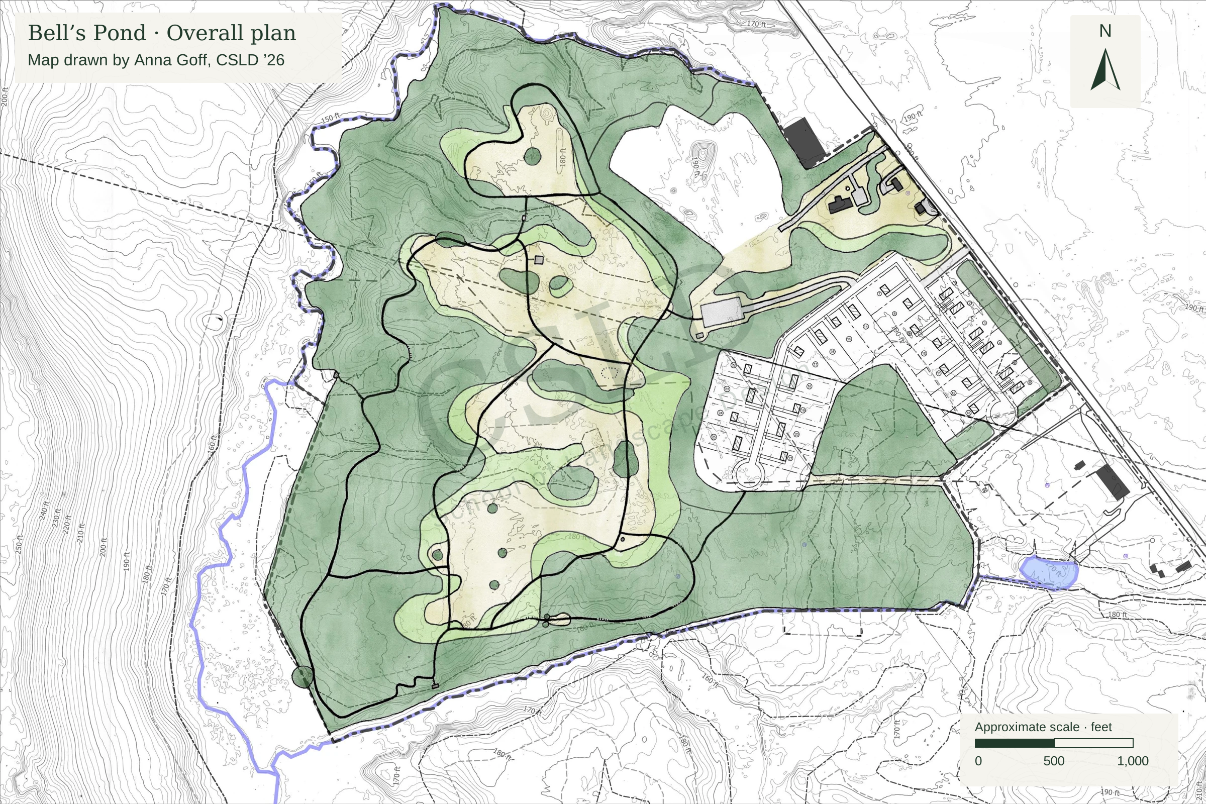
The Spring 2026 Conway School study brings together the goals of Columbia Land Conservancy, Columbia-Greene Habitat for Humanity, and Trillium Community Land Trust. A shared landscape plan relates housing areas to public conservation land, while recognizing distinct ownership and management approaches.
02Conservation-led site analysis
Existing vegetation, soil groups, slopes, drainage, wetlands, and circulation help identify where development fits. The Bell’s Pond proposal concentrates housing near Route 9 and existing infrastructure, preserving space for a connected restoration landscape.
03Pocket neighborhoods
The Trillium concept groups homes around a shared common. Paths connect front doors, parking, gardens, and trails; planting mediates between private and collective space.
- Cluster buildings to retain larger contiguous open areas.
- Coordinate solar orientation, shade, and outdoor comfort.
- Bring parking, pedestrian access, and stormwater into the same plan.
04Public access + private edges
Trails, screens, berms, and gathering destinations help visitors and residents understand how to use the site. Native planting provides privacy while extending habitat across residential and conservation boundaries.
05Stewardship from the start
The Good Neighbor planting guide and vegetation-zone plans link care around homes to meadow, shrubland, and forest restoration. The landscape’s long-term management is part of the planning proposal.