Topography + landform
Study slope, elevation, aspect, landform, and the relationships between natural and constructed features.
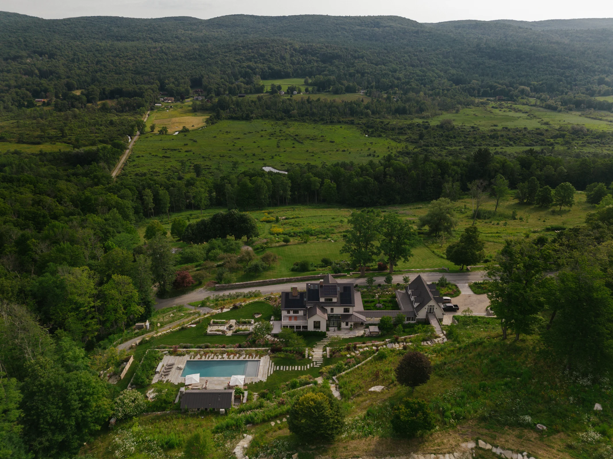
Survey information becomes one layer of a larger understanding of the property. Topography, water, soil, vegetation, and habitat inform where intervention belongs—and where the existing landscape should lead.
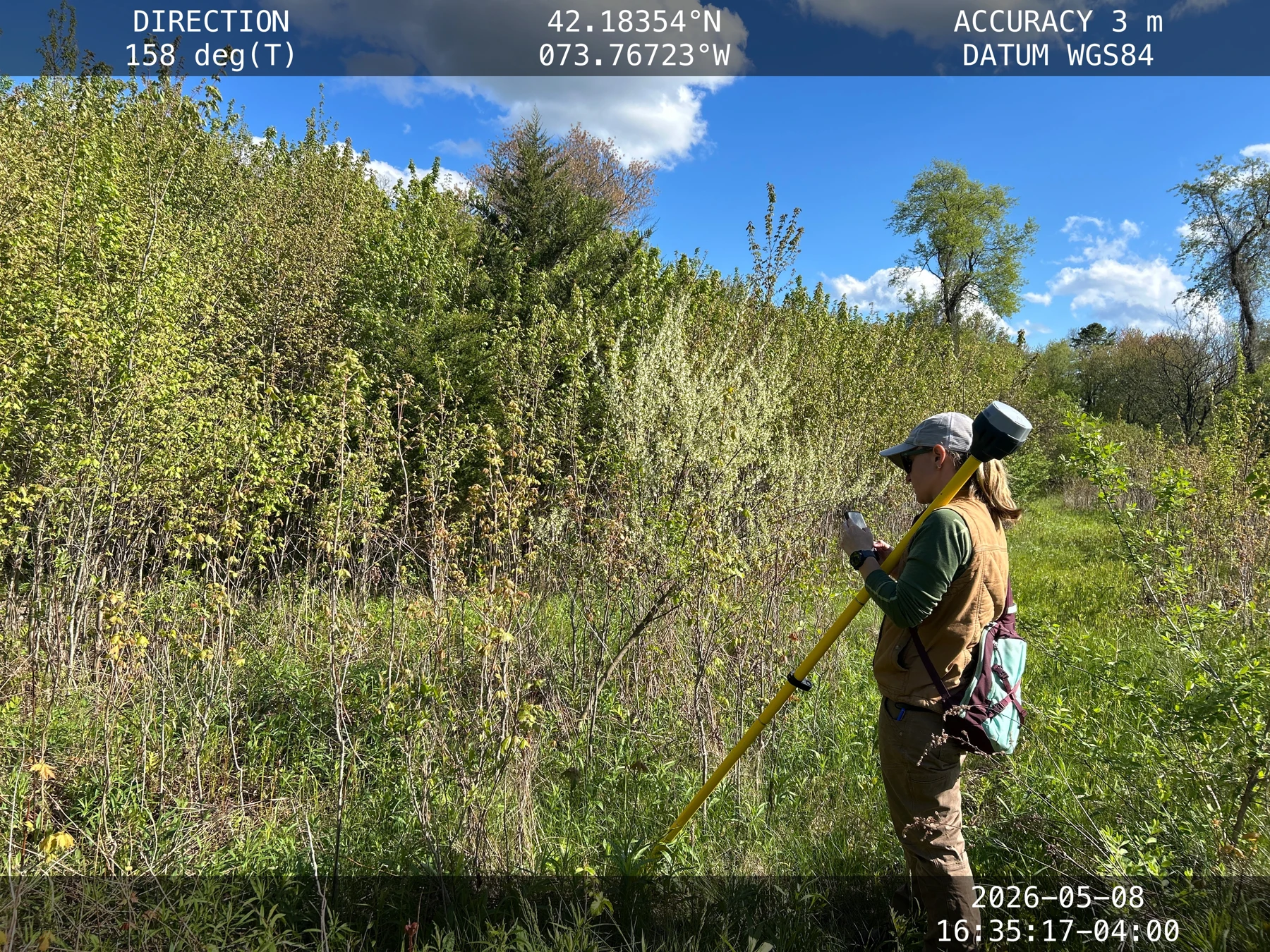
Study slope, elevation, aspect, landform, and the relationships between natural and constructed features.
Understand how water enters, moves through, collects within, and leaves the property. Read soil conditions alongside vegetation, drainage, construction, and restoration.
Document what is already growing, habitat connectivity, edges, and opportunities for enhancement. Existing diversity is a starting point for design.
Incorporate wetlands, streams, buffers, sensitive habitat, and environmental constraints into planning from the beginning.
Bring the layers together to locate buildings, circulation, gardens, restoration, habitat, stormwater interventions, and other uses.
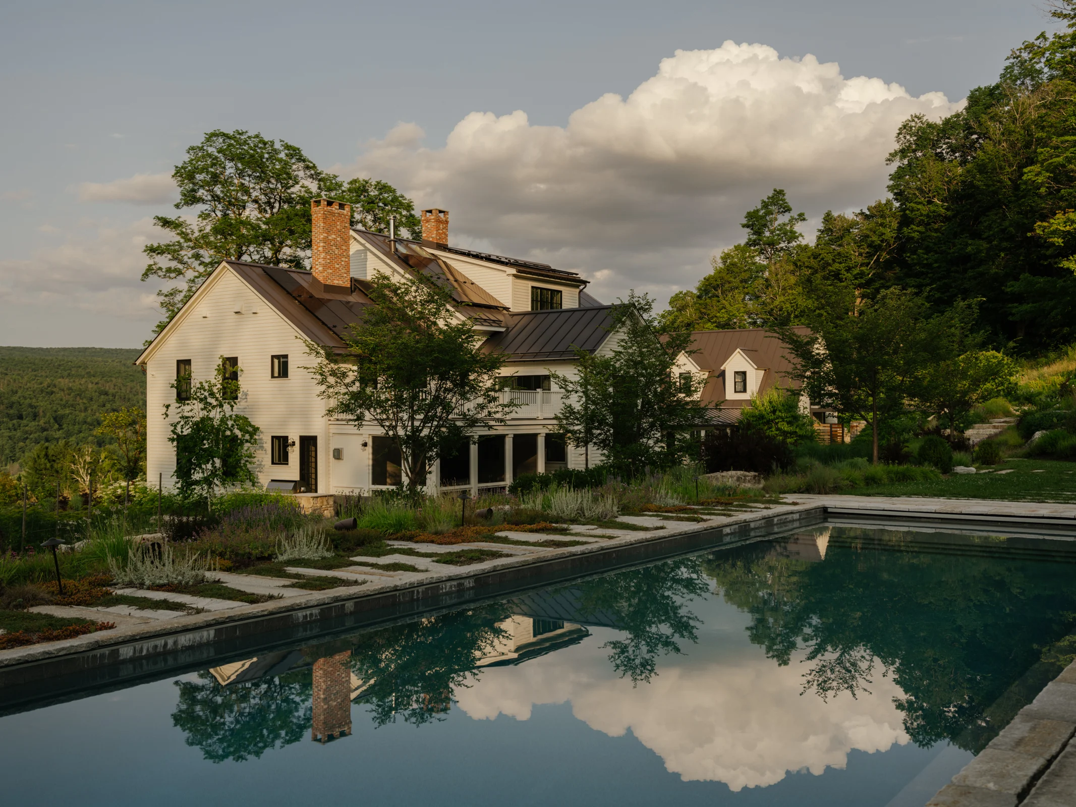
EXPLORE THE DESIGN DETAILS
ANALYSIS IN PRACTICE / DESIGN STUDIES
Two Conway School studies show how soils, water, vegetation, and patterns of use inform decisions at very different scales.
Conway School of Landscape Design
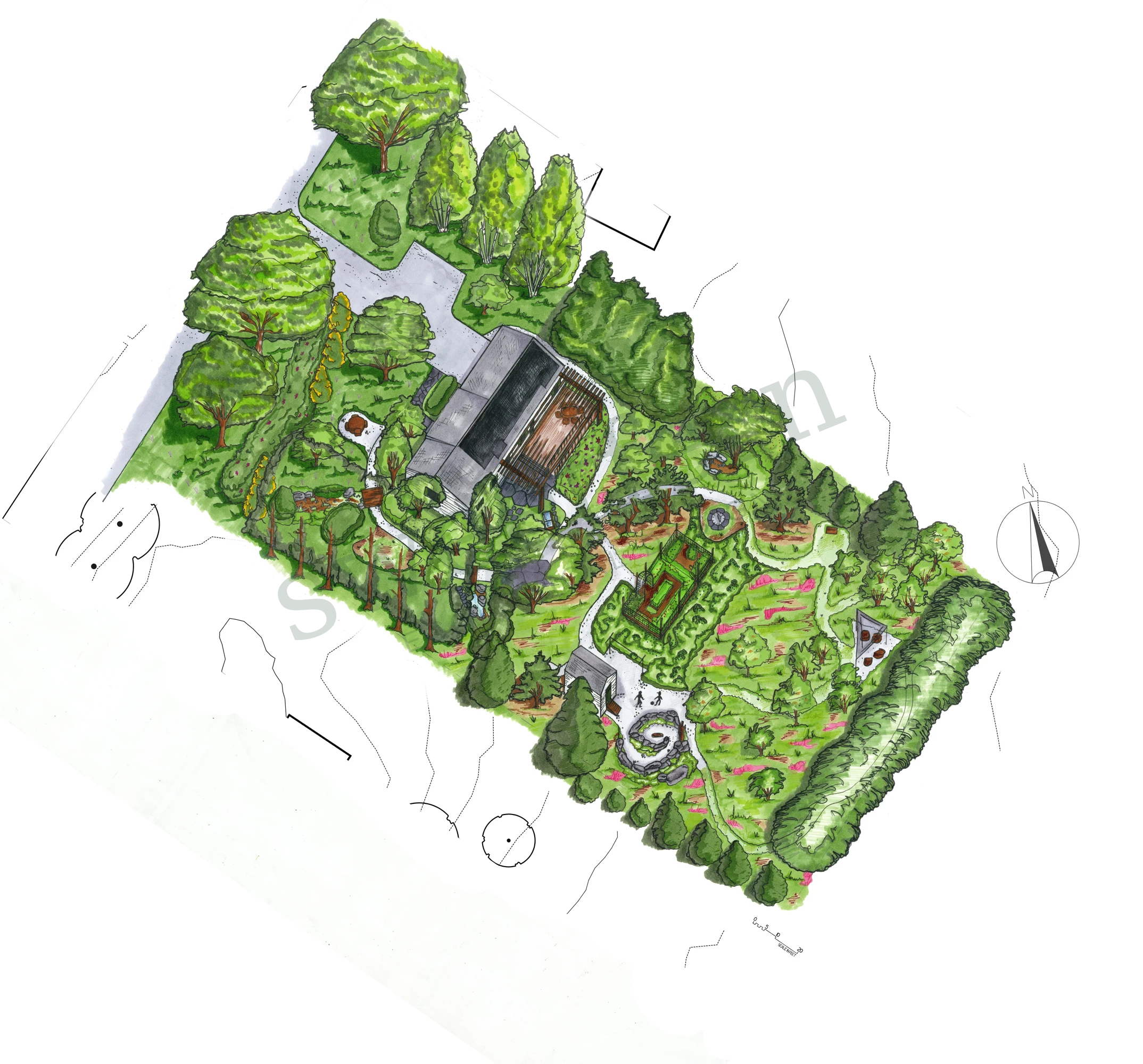
 EXPLORE THE PROJECT
Residential design study · Fall 2025
A sandplain meadow oasis, designed for everyday life.
Zaviere Drumm · The Conway School · Fall 2025Conway School of Landscape Design: Co-designed with Anna Goff
 EXPLORE THE PROJECT
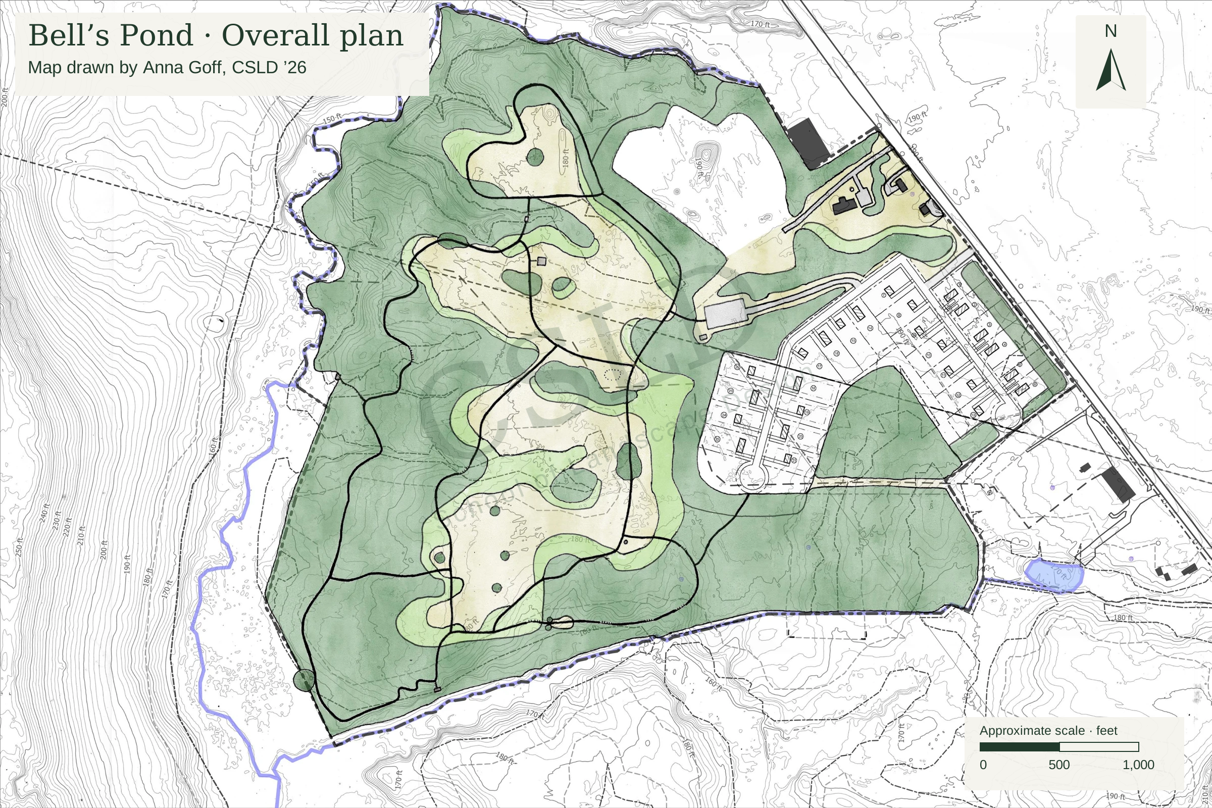
Conservation + housing project · Spring 2026
Conservation, affordable housing, and community access on common ground.
Anna Goff & Zaviere Drumm · The Conway School · Spring 2026